Geissfluegrat
Map

Map

Facts and practical information
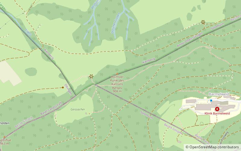
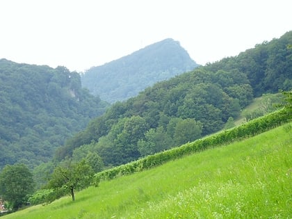
The Geissfluegrat is a minor summit east of the Geissflue, in the eastern Jura Mountains. It is located between the Swiss cantons of Aargau and Solothurn. With an elevation of 908 metres above sea level, the Geissfluegrat is the highest point in Aargau. It is also the easternmost summit above 900 metres in the Jura Mountains. ()
Elevation: 2979 ftProminence: 16 ftCoordinates: 47°25'22"N, 7°57'54"E
Location
Solothurn
ContactAdd
Social media
Add
Day trips
Geissfluegrat – popular in the area (distance from the attraction)
Nearby attractions include: Wasserflue, Wisenberg, Geissflue, Naturama.


