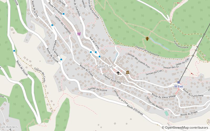
Saint-Luc, Vissoie
Map
![Saint-Luc location map](https://tzmedia.b-cdn.net/media/images/static-maps/ch/46_2206_7_59649.jpg)
Map
![Saint-Luc location map](https://tzmedia.b-cdn.net/media/images/static-maps/ch/46_2206_7_59649.jpg)
Facts and practical information
Day trips
Saint-Luc – popular in the area (distance from the attraction)
Nearby attractions include: Anniviers, Lac de Géronde, Becs de Bosson, Rainer Maria Rilke Foundation.
#1 among attractions in Vissoie
Unleash the traveler in you — discover the cheapest flight deals, find the perfect hotel or hostel nearby, and search for the best car rental prices. Travel at your own pace to discover new places and enjoy your journey.
Nearby attractions include: Anniviers, Lac de Géronde, Becs de Bosson, Rainer Maria Rilke Foundation.
41 min walk • Nestled in the heart of the Swiss Alps, Anniviers is an enchanting ski area that offers a mesmerizing blend of natural beauty and winter sports excitement. Known for its breathtaking mountain scenery, this resort is a paradise for skiers and snowboarders of all levels.
137 min walk • Lac de Géronde is a lake at Sierre, Valais, Switzerland. At an elevation of 523 metres, it has a surface area of 0.055 square kilometres. A trail, made out of woodchips, leads around the lake. A public bathing beach, the „Bains de Géronde“, is located at the northwest border of the lake.
132 min walk • The Becs de Bosson are a multi-summited mountain of the Pennine Alps, located between St-Martin and Grimentz, in the canton of Valais.
149 min walk • The Rainer Maria Rilke Foundation was established in 1986 in Sierre, Switzerland, on the patronage of the municipality. Its goal is to promote the knowledge of Rainer Maria Rilke's works, through a museum, exhibitions, lectures, conferences, publications and a festival.
79 min walk • The Illhorn is a mountain of the Swiss Pennine Alps, overlooking Chandolin in the canton of Valais. With a height of 2,717 metres above sea level, it is the highest point of the Illgraben valley.
124 min walk • The Corne de Sorebois is a mountain in the Pennine Alps in Switzerland. It is located near Zinal in Valais. Sorebois is the name of an alpine pasture on the east slopes of the mountain.
137 min walk • The Sex de Marinda is a mountain of the Swiss Pennine Alps, located south of Grimentz in the canton of Valais. It lies east of the Sasseneire, 90 km south of capital Bern.
132 min walk • Mont Noble is a mountain of the Swiss Pennine Alps, overlooking the Val de Réchy in the canton of Valais.
78 min walk • Illsee is a natural lake used as a reservoir above Sierre, in the Valais, Switzerland. Its surface area is 0.21 km².
24 min walk • François-Xavier Bagnoud Observatory is an astronomical observatory. It is a non-profit organisation funded by Association François-Xavier Bagnoud. It is located above the village of Saint-Luc, Switzerland, close to the top of the funicular, at a height of 2,200 m.
88 min walk • The Crêt du Midi is a mountain of the Pennine Alps, overlooking Vercorin in the canton of Valais. The summit is accessible by cable car from Chalais or Vercorin.
Where to next? Visit Valais region page or discover the top tourist attractions in Switzerland.