Ruchen
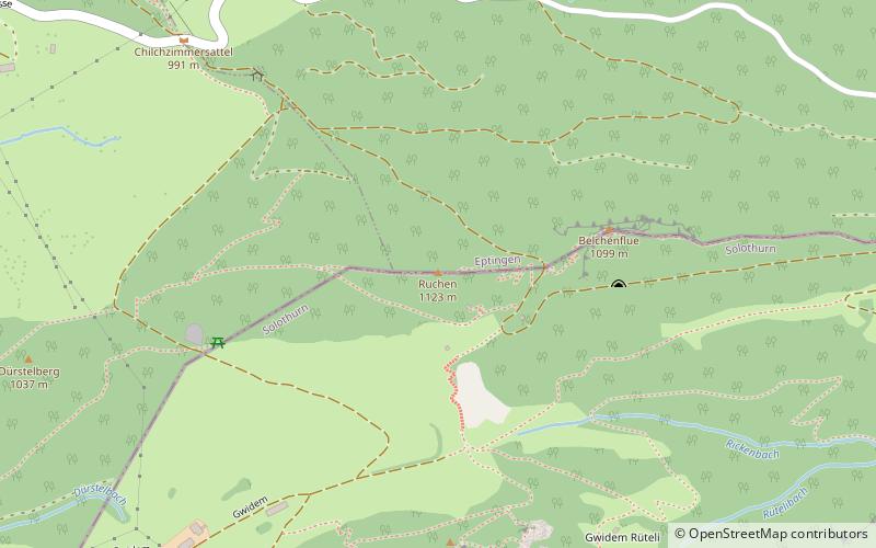
Map
Facts and practical information
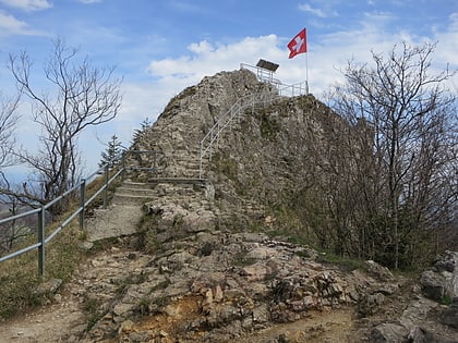
The Ruchen is a mountain of the Jura, located on the border between the Swiss cantons of Basel-Landschaft and Solothurn. It lies between Langenbruck and Eptingen. The Ruchen is the easternmost summit above 1,100 metres in the Jura Mountains. East of the Ruchen is the Belchenflue. ()
Elevation: 3684 ftProminence: 1286 ftCoordinates: 47°21'44"N, 7°48'26"E
Location
Solothurn
ContactAdd
Social media
Add
Day trips
Ruchen – popular in the area (distance from the attraction)
Nearby attractions include: Belchenflue, Sculpture at Schoenthal, Alt-Bechburg Castle, Neu-Homburg Castle.
