Sattelhorn

Gallery (1)
Map
Map
Facts and practical information
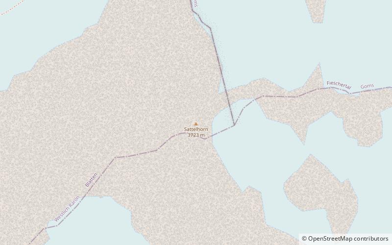
The Sattelhorn is a mountain of the Bernese Alps, overlooking the Lötschenlücke in the canton of Valais. It lies west of the Aletschhorn, between the Lang Glacier and the Oberaletsch Glacier. ()
Alternative names: First ascent: 1883Elevation: 12287 ftProminence: 397 ftCoordinates: 46°28'5"N, 7°57'50"E
Location
Valais
ContactAdd
Social media
Add
Day trips


