Irchel
Map

Map

Facts and practical information
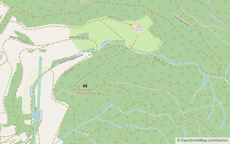
The Irchel is an elevation in the Canton of Zürich, located at the Rhine between the Töss and Thur rivers, on the territory of Buch am Irchel, Berg am Irchel and Freienstein-Teufen, separating the Andelfingen and Bülach districts. It is an outlying ridge of the Jura, rising to 694 m, lying east of the Lägern. Historically, it was part of the Germanic Limes. The name is from a Helvetic word for "stag". ()
Location
Zürich
ContactAdd
Social media
Add
Day trips
Irchel – popular in the area (distance from the attraction)
Nearby attractions include: Bülach Observatory, Fort Ebersberg, Eglisau railway bridge, Wart Castle.


