Appenzell Alps
Map
Gallery
Facts and practical information
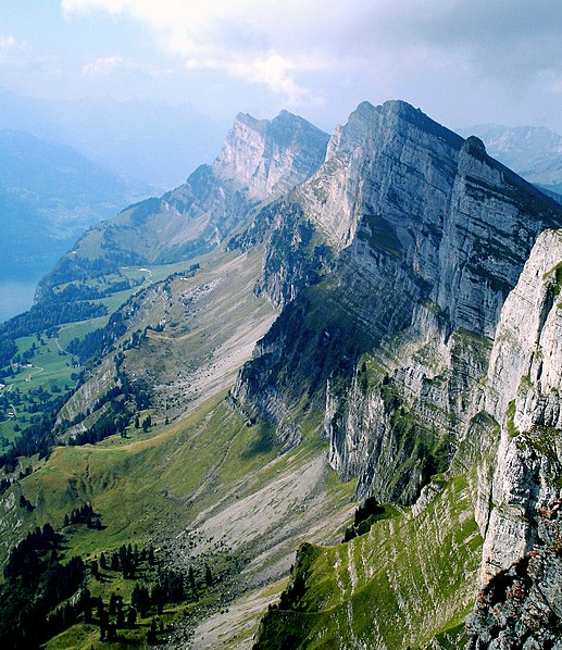
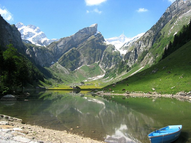
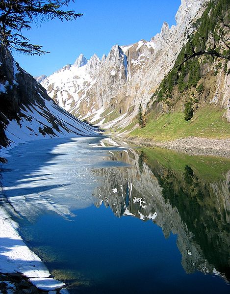
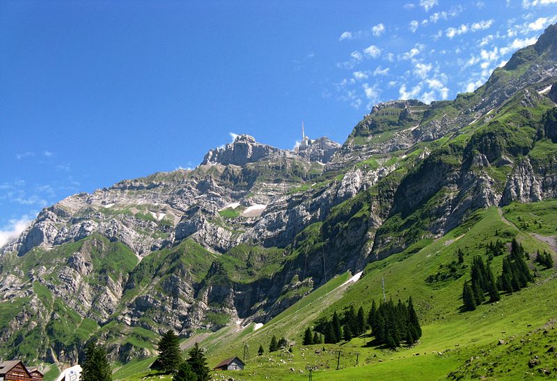
The Appenzell Alps are a mountain range in Switzerland on the northern edge of the Alps. They extend into the cantons of Appenzell Ausserrhoden, Appenzell Innerrhoden and St. Gallen and are bordered by the Glarus Alps to the west and the Rätikon to the south-east. ()
Local name: Appenzeller Alpen Maximum elevation: 8209 ftElevation: 8209 ftCoordinates: 46°38'28"N, 8°25'6"E
Location
Valais
ContactAdd
Social media
Add
Day trips
Appenzell Alps – popular in the area (distance from the attraction)
Nearby attractions include: Dammastock, Eggstock, Schneestock, Damma Glacier.


