Basel-Münsterhügel, Basel

Gallery (1)
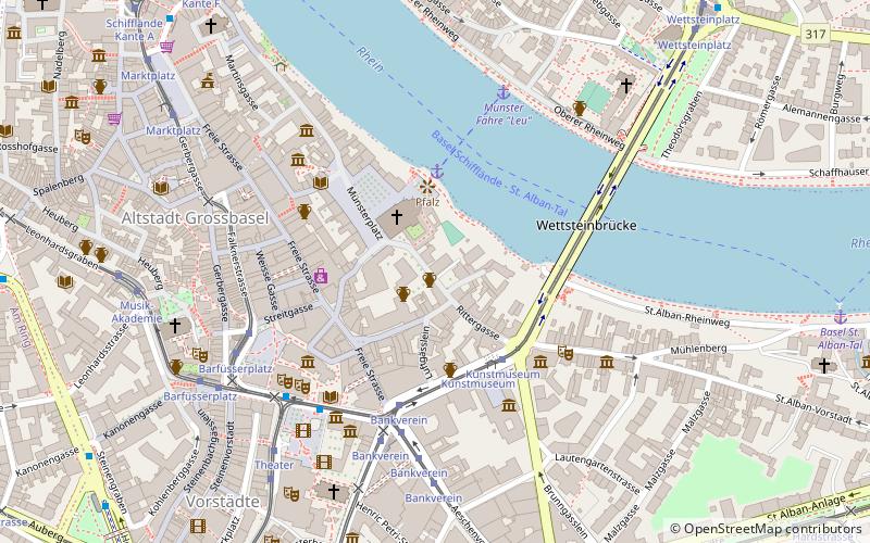
Map
Map
Facts and practical information
Basel-Münsterhügel is the site of an Iron Age fort or oppidum, known as Basel oppidum, constructed by the Gaulish Rauraci after the battle of Bibracte in 58 BC. It the site of Basel Minster, in the Swiss city of Basel. ()
Coordinates: 47°33'21"N, 7°35'35"E
Address
Altstadt GrossbaselBasel
ContactAdd
Social media
Add
Getting there by public transportation
Public transportation stops near this location
- Bus
- Tram
- Train
- Ferry
 Bus
Bus
- Calculate routeMünster Fähre Leu 5 min walk
- Calculate routeSt. Alban Fähre Wild Maa 12 min walk
- Calculate routeKunstmuseum 3 min walk
- Calculate routeBankverein 5 min walk
- Calculate routeBarfüsserplatz 5 min walk
- Calculate routeTheater 5 min walk
- Calculate routeKirschgarten 8 min walk
- Calculate routeAeschenplatz Kante C 9 min walk
- Calculate routeMarktplatz 9 min walk
- Calculate routeBasel SBB 15 min walk
- Calculate routeBasel Badischer Bahnhof 27 min walk
- Calculate routeBasel St. Johann 36 min walk
Day trips


Frequently Asked Questions (FAQ)
Which popular attractions are close to Basel-Münsterhügel?
Nearby attractions include Basel Minster, Basel (2 min walk), Antikenmuseum Basel und Sammlung Ludwig, Basel (3 min walk), Kunstmuseum Basel, Basel (3 min walk), Museum of Cultures, Basel (5 min walk).
How to get to Basel-Münsterhügel by public transport?
The nearest stations to Basel-Münsterhügel:
Ferry
Tram
Bus
Train
Ferry
- Münster Fähre Leu (5 min walk)
- St. Alban Fähre Wild Maa (12 min walk)
Tram
- Kunstmuseum • Lines: 1, 15, 2 (3 min walk)
- Bankverein • Lines: 1, 10, 11, 14, 15, 2, 3, 8, E11, N11, N14 (5 min walk)
Bus
- Theater • Lines: N20, N21, N22, N23, N26, N27, N28 (5 min walk)
- Kirschgarten • Lines: N27 (8 min walk)
Train
- Basel SBB (15 min walk)
- Basel Badischer Bahnhof (27 min walk)