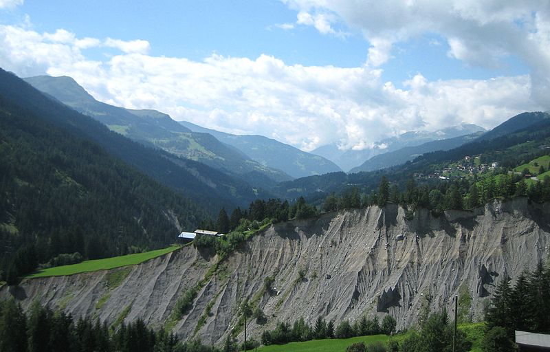
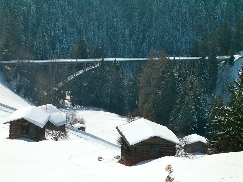
Gründjitobel Viaduct

Gallery (5)
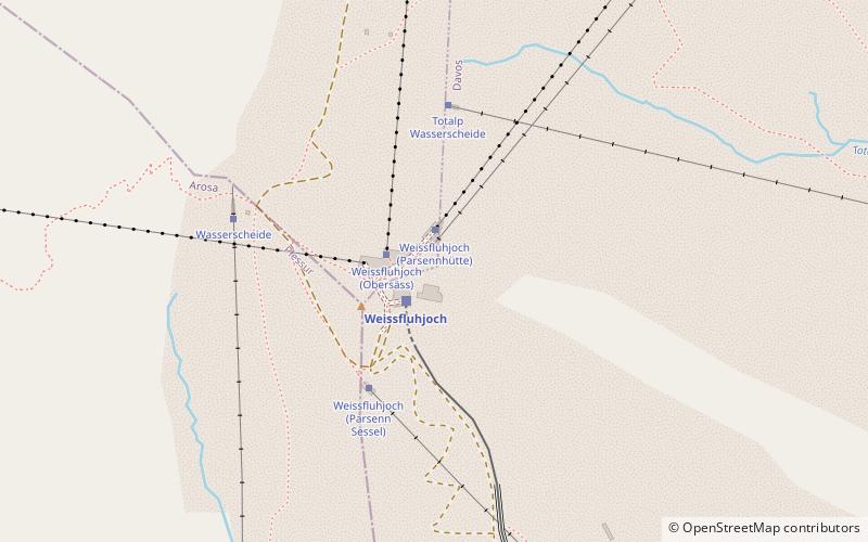
Map

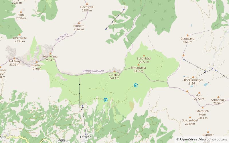
Map

Gallery
Facts and practical information
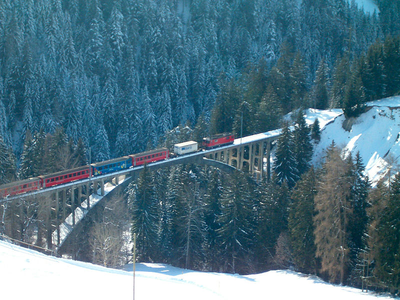
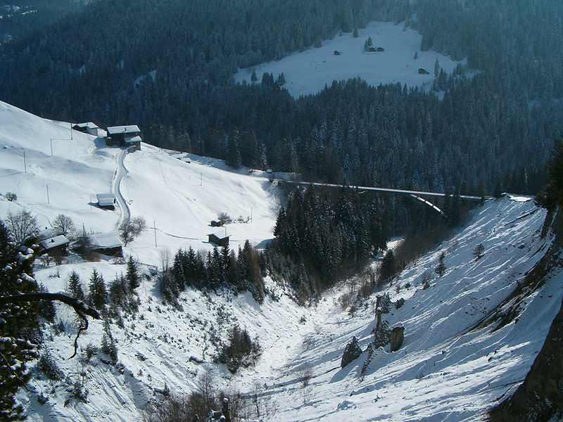
The Gründjitobel Viaduct is a single track reinforced concrete railway bridge, spanning the Gründjitobelbach near Langwies, in the Canton of Graubünden, Switzerland. ()
Local name: Gründjitobel-Viadukt Opened: 1914 (112 years ago)Length: 476 ftHeight: 151 ftCoordinates: 46°49'29"N, 9°41'30"E
Location
Graubünden
ContactAdd
Social media
Add
Day trips