Brunnistock

Gallery (1)
Map
Map
Facts and practical information
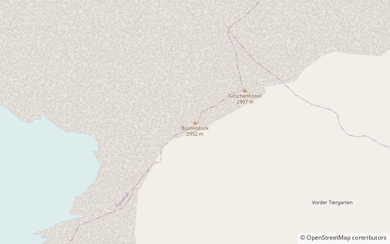
The Brunnistock is a mountain of the Urner Alps, overlooking the eastern side of the Surenen Pass, in the Swiss canton of Uri. With a height of 2,952 metres above sea level, the Brunnistock is the highest mountain of the range lying north of the Surenen Pass. On the north-west side lies a glacier named Blüemlisalpfirn. ()
Location
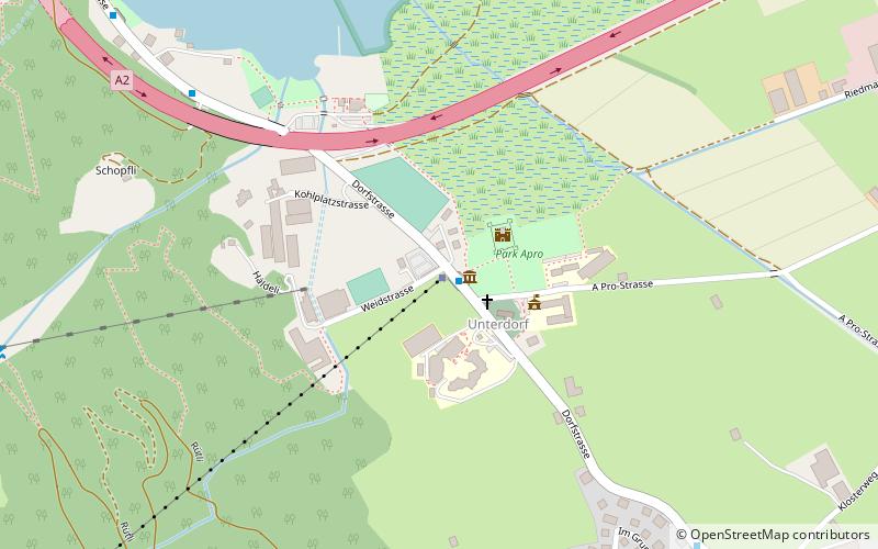
Brunni StrasseUri
ContactAdd
Social media
Add
Day trips