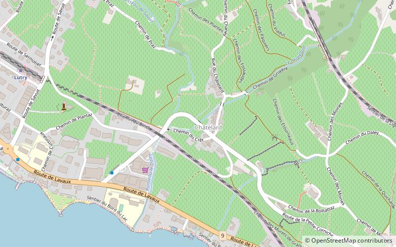
Route de la Petite-Corniche, Lutry
Map

Map

Facts and practical information
Route de la Petite-Corniche (address: Route de Lavaux 329) is a place located in Lutry (Vaud canton) and belongs to the category of bridge.
It is situated at an altitude of 1322 feet, and its geographical coordinates are 46°30'8"N latitude and 6°41'53"E longitude.
Among other places and attractions worth visiting in the area are: Lutry Castle (town, 14 min walk), Paudex, Lausanne (area, 33 min walk), Belmont-sur-Lausanne, Lausanne (area, 39 min walk).
Coordinates: 46°30'8"N, 6°41'53"E
Address
Route de Lavaux 329Lutry
ContactAdd
Social media
Add
Day trips
Route de la Petite-Corniche – popular in the area (distance from the attraction)
Nearby attractions include: Olympic Museum, Parc de Mon Repos, Synagogue of Lausanne, Musée de l'Élysée.


