Brünig Pass

Gallery (1)
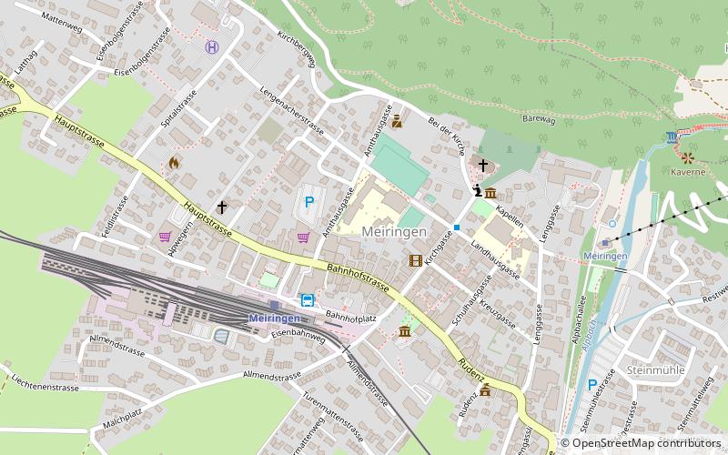
Map
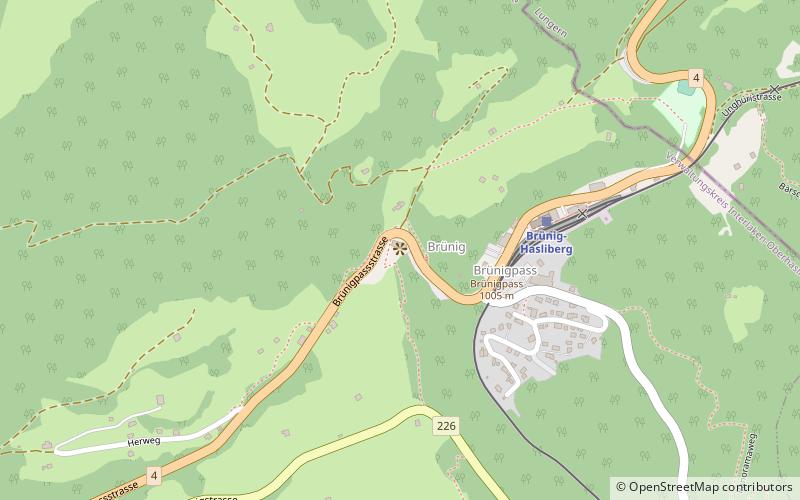
Map
Facts and practical information
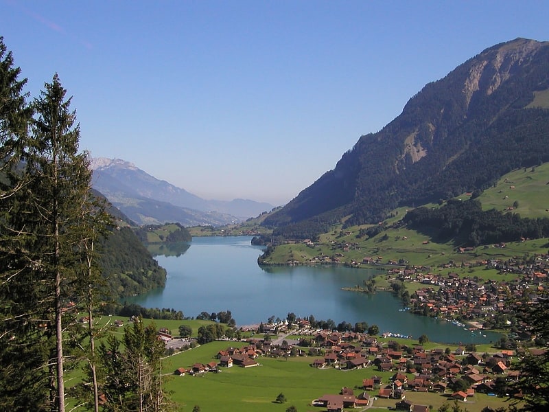
The Brünig Pass, at an altitude of 1,008 m, connects the Bernese Oberland and central Switzerland, linking Meiringen in the canton of Bern and Lungern in the canton of Obwalden. It is on the watershed between the upper reaches of the Aare, which flows through Lake Brienz and Lake Thun, and the Sarner Aa, which flows into Lake Lucerne. ()
Location
Bern
ContactAdd
Social media
Add
Day trips