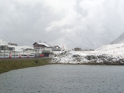
Oberalpsee
#164 among destinations in Switzerland

Facts and practical information
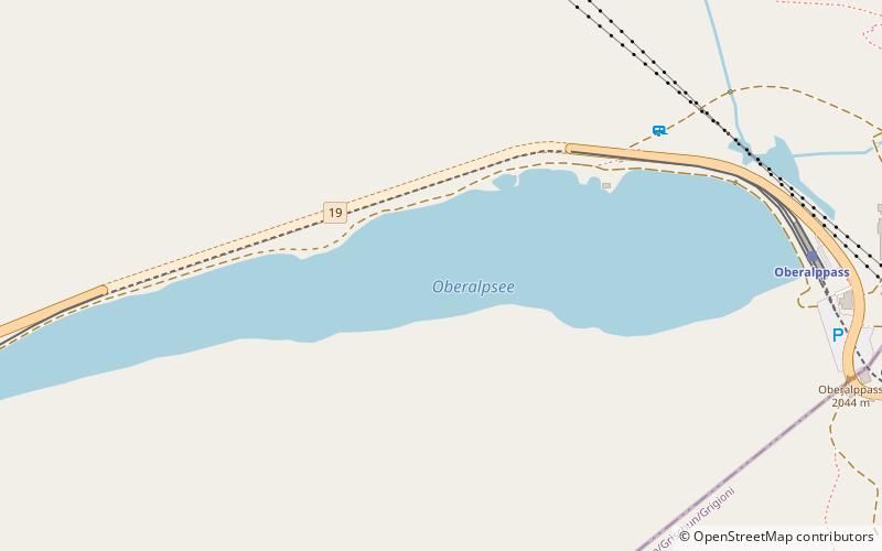
Oberalpsee is a lake just below Oberalp Pass on the side of the Canton of Uri in Switzerland. ()
UriSwitzerland
Oberalpsee – popular in the area (distance from the attraction)
Nearby attractions include: Schöllenen Gorge, Tomasee, Jugendherberge Hospental, Gemsstock.
 Nature, Natural attraction, Canyon
Schöllenen Gorge, Andermatt
91 min walk • Nestled in the heart of the Swiss Alps, the Schöllenen Gorge is a natural wonder that captivates travelers with its rugged beauty. Located near the mountain village of Andermatt, this dramatic gorge serves as a gateway to the Gotthard Pass, a historically significant...
 Mountain lake and source of the Rhine
Tomasee
50 min walk • Nestled in the serene alpine scenery of Switzerland lies the tranquil Tomasee, a lake that is often referred to as the source of the Rhine River. This pristine body of water, also known by its Romansh name Lai da Tuma, sits at an elevation of 2,345 meters above sea...
 Forts and castles
Jugendherberge Hospental, Hospental
137 min walk • Hospental Castle or Langobarden Tower is a ruined medieval castle in the municipality of Hospental in the canton of Uri in Switzerland. It is a Swiss heritage site of national significance.
 Nature, Natural attraction, Mountain
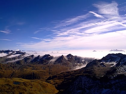
Gemsstock
113 min walk • Gemsstock is a mountain of the Swiss Lepontine Alps, overlooking Andermatt in the canton of Uri. A glacier named Gurschenfirn lies over its northern flanks. The Gemsstock is a subpeak of the higher Chastelhorn, lying approximately one kilometre south-west.
 Nature, Natural attraction, Mountain
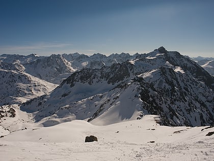
Piz Badus
66 min walk • Piz Badus or Six Madun is a mountain in the Lepontine Alps, lying on the border between the cantons of Uri and Graubünden. In its northwestern face, which is the Graubünden side, lies Tomasee, source of the Anterior Rhine.
 Nature, Natural attraction, Lake
Lai da Nalps
131 min walk • Lai da Nalps is a reservoir in the municipality of Tujetsch, Grisons, Switzerland. It has a capacity of 45 million m³ and a surface area of 0.91 km². The reservoir is connected to Lai da Sontga Maria and Lai da Curnera in neighboring valleys.
 Nature, Natural attraction, Mountain pass
Oberalp Pass
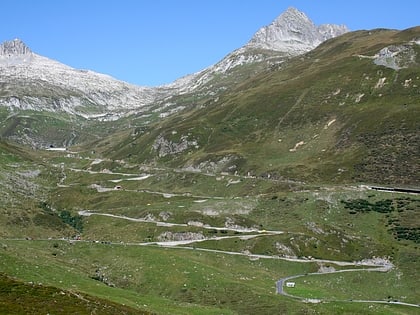
19 min walk • Oberalp Pass is a high mountain pass in the Swiss Alps connecting the cantons of Graubünden and Uri between Disentis/Mustér and Andermatt.
 Nature, Natural attraction, Mountain
Bristen
137 min walk • The Bristen is a mountain in the Glarus Alps, overlooking the valley of the Reuss and located to the south of Amsteg in the canton of Uri, Switzerland. The mountain is located about four kilometres north of Piz Giuv and the border with Graubünden. The Bristen is considered one of the main landmarks of the Canton of Uri.
 Nature, Natural attraction, Mountain
Piz Ravetsch
142 min walk • Piz Ravetsch is a mountain in the Lepontine Alps, located in Graubünden near the border with Ticino. Piz Ravetsch is the highest summit of the range that separates Val Maighels and the valley of Lake Curnera.
 Nature, Natural attraction, Mountain
Piz Giuv
82 min walk • Piz Giuv is a mountain of the Glarus Alps, located on the border between the cantons of Uri and Graubünden. At 3,096 metres above sea level, it is the highest mountain of the Glarus Alps lying west of the Oberalpstock.
 Nature, Natural attraction, Mountain
Piz Cavradi
66 min walk • Piz Cavradi is a mountain of the Swiss Lepontine Alps, located south of Tschamut in the canton of Graubünden.
