Münchwilen District, Münchwilen

Map
Facts and practical information
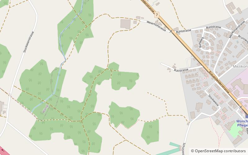
Münchwilen District is one of the five districts of the canton of Thurgau, Switzerland. It has a population of 48,285. Its capital is the town of Münchwilen. ()
Address
Münchwilen
ContactAdd
Social media
Add
Day trips
Münchwilen District – popular in the area (distance from the attraction)
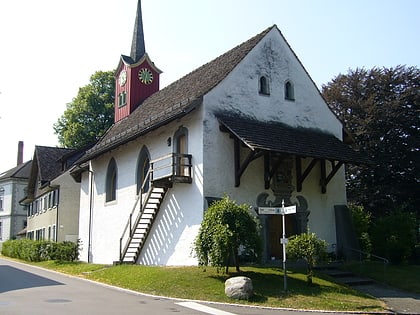
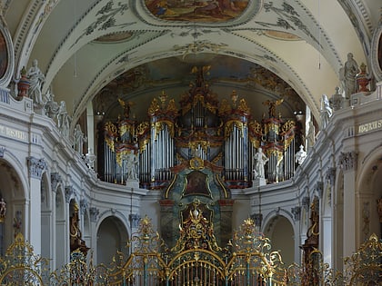
Nearby attractions include: Tänikon monastery, Sonnenberg Castle, Bichelsee Lake, St. Margaret Chapel.


