Piz Blas
Map

Map

Facts and practical information
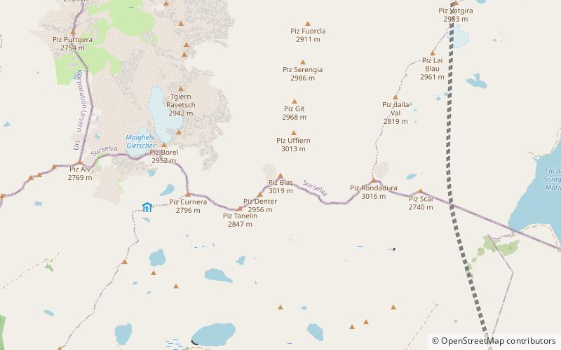
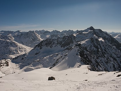
Piz Blas is a mountain in the Lepontine Alps, located on the border between the cantons of Graubünden and Ticino. At 3,019 metres above sea level, Piz Blas is the highest mountain of Val Cadlimo, a valley drained by the Reno da Medel, a tributary of the Rhine. On its northern side, it overlooks the valleys of Lake Curnera and Lake Nalps, both drained by tributaries of the Rhine. ()
Location
Ticino
ContactAdd
Social media
Add
Day trips
Piz Blas – popular in the area (distance from the attraction)
Nearby attractions include: Tomasee, Lago di Tom, Lake Cadagno, Lago Ritom.


