Bahnhof Letten, Zurich
Map

Map

Facts and practical information
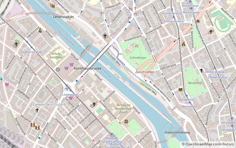
Zürich Letten is a former railway station in the Swiss city of Zürich. It is situated on the old route of the Lake Zürich right bank railway from Zurich Hbf station to Rapperswil station. Radical changes to the local railway geography led to the closure of the station in 1990, but the station building still exists, and the trackbed is used as a pedestrian path. ()
Address
Lettensteg 10Kreis 5 (Gewerbeschule)Zurich 8037
Contact
+41 44 362 92 00
Social media
Add
Day trips
Bahnhof Letten – popular in the area (distance from the attraction)
Nearby attractions include: Bahnhofstrasse, Swiss National Museum, Jelmoli, Synagoge Zürich Löwenstrasse.
Frequently Asked Questions (FAQ)
Which popular attractions are close to Bahnhof Letten?
Nearby attractions include Milchbuck Tunnel, Zurich (3 min walk), Museum of Design, Zurich (5 min walk), Gewerbeschule, Zurich (7 min walk), Platzspitz park, Zurich (11 min walk).
How to get to Bahnhof Letten by public transport?
The nearest stations to Bahnhof Letten:
Trolleybus
Tram
Bus
Ferry
Train
Trolleybus
- Limmatplatz • Lines: 32 (5 min walk)
- Nordstrasse • Lines: 32, 46 (6 min walk)
Tram
- Limmatplatz • Lines: 13, 17, 4, 6 (5 min walk)
- Museum für Gestaltung • Lines: 13, 17, 4, 6 (6 min walk)
Bus
- Bus Station Zürich (9 min walk)
- Haldenegg • Lines: E, N6 (14 min walk)
Ferry
- Zürich Landesmuseum (14 min walk)
- Zürich Limmatquai (24 min walk)
Train
- Zürich Hauptbahnhof (14 min walk)
- Zürich HB SZU (15 min walk)


