Tschingel

Gallery (1)
Map
Map
Facts and practical information
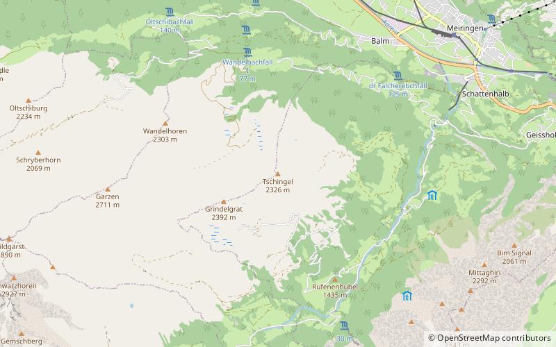
The Tschingel is a mountain of the Bernese Alps, overlooking Meiringen in the Bernese Oberland. It constitutes the eastern end of the Grindelgrat, a ridge descending from the Garzen summit. The summit is on the border between Meiringen and Schattenhalb municipalities. ()
Elevation: 7631 ftProminence: 69 ftCoordinates: 46°42'14"N, 8°8'27"E
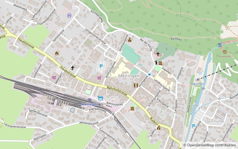
Location
Bern
ContactAdd
Social media
Add
Day trips