Hiendertelltihorn

Map
Facts and practical information
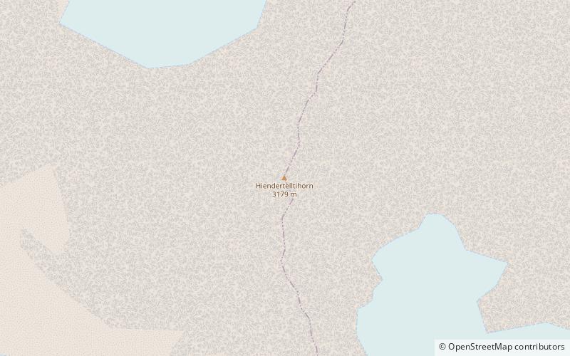
The Hiendertelltihorn is a mountain of the Bernese Alps, located west of Handegg in the canton of Bern. It lies between the Gauli Glacier and the Grueben Glacier. ()
Elevation: 10430 ftProminence: 489 ftCoordinates: 46°36'1"N, 8°14'13"E
Location
Bern
ContactAdd
Social media
Add
Day trips
Hiendertelltihorn – popular in the area (distance from the attraction)
Nearby attractions include: Steinlauihorn, Grosser Diamantstock, Hienderstock, Bächlistock.


