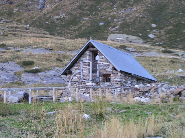
Capanna Borgna

Gallery (2)
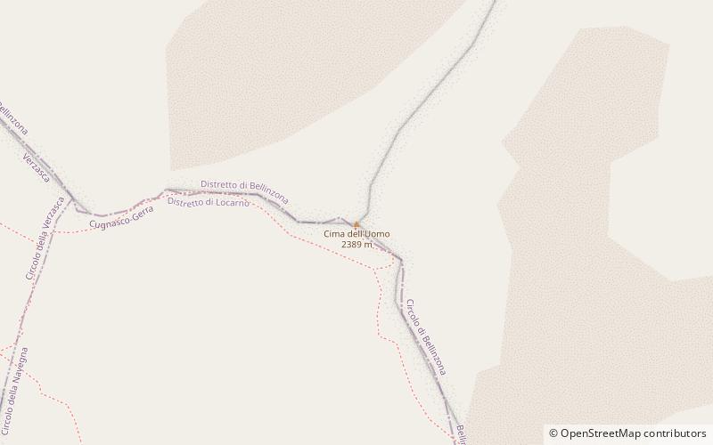
Map
Map
Gallery
Facts and practical information
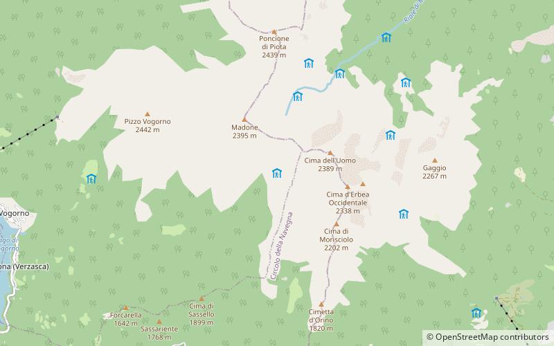
Capanna Borgna is a self-catering refuge located in the municipality of Vogorno in Val della Porta in the Ticino Alps. It is one of the five refuges that make up the Via Alta della Verzasca and belong to the Società Escursionistica Verzaschese.
Day trips