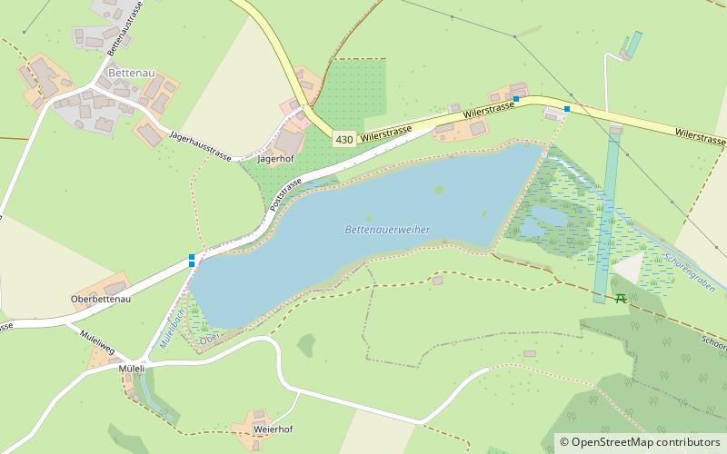
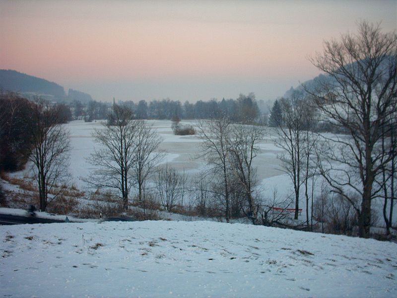
Bettenauer Weiher

Gallery (2)
Map
Map
Gallery
Facts and practical information
Bettenauer Weiher is a reservoir between Jonschwil and Oberuzwil in the Canton of St. Gallen, Switzerland. The reservoir formed in the 15th century when a dam was built for a fish pond. Today, fishing in the lake is only allowed for retired persons of the local industrial enterprise Bühler AG, to which it belongs. ()
Alternative names: Length: 1312 ftWidth: 328 ftMaximum depth: 7 ftElevation: 1926 ft a.s.l.Coordinates: 47°25'47"N, 9°6'11"E
Location
Sankt Gallen
ContactAdd
Social media
Add
Day trips