Wollishofen, Zurich
Map
Gallery
Facts and practical information
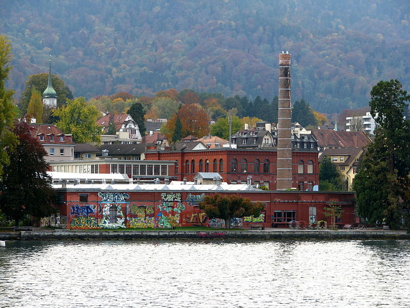
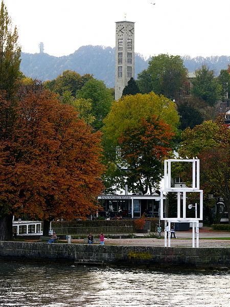
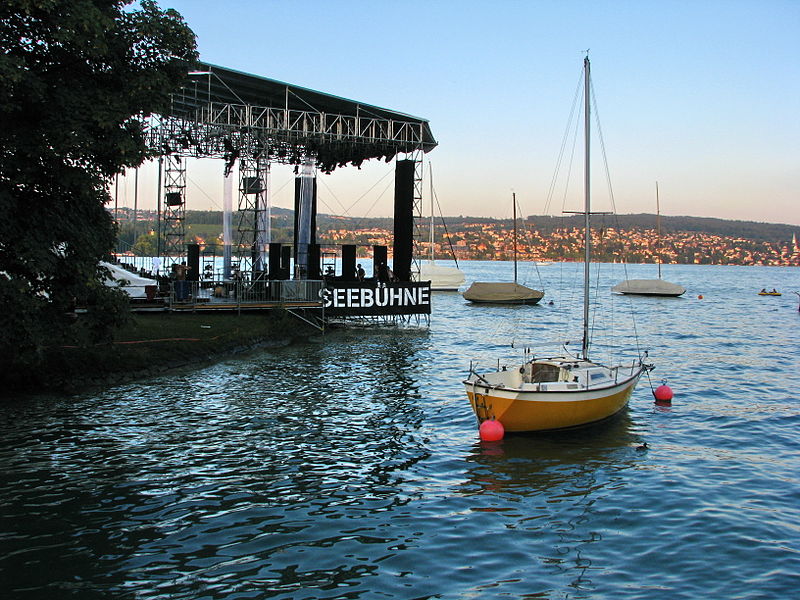
Wollishofen is a neighbourhood in Zürich's 2nd district. It was formerly a municipality of its own, having been incorporated into Zürich in 1893. The neighbourhood has a population of 15,592 distributed on an area of 5.75 km2. ()
Address
Kreis 2 (Wollishofen)Zurich
ContactAdd
Social media
Add
Day trips
Wollishofen – popular in the area (distance from the attraction)
Nearby attractions include: Strandbad Mythenquai, Sihlcity, Rietberg Museum, Pavillon Le Corbusier.
Frequently Asked Questions (FAQ)
Which popular attractions are close to Wollishofen?
Nearby attractions include District 2, Zurich (6 min walk), Rote Fabrik, Zurich (7 min walk), Schweizerische Ausstellung für Frauenarbeit, Zurich (15 min walk).
How to get to Wollishofen by public transport?
The nearest stations to Wollishofen:
Tram
Bus
Trolleybus
Ferry
Train
Tram
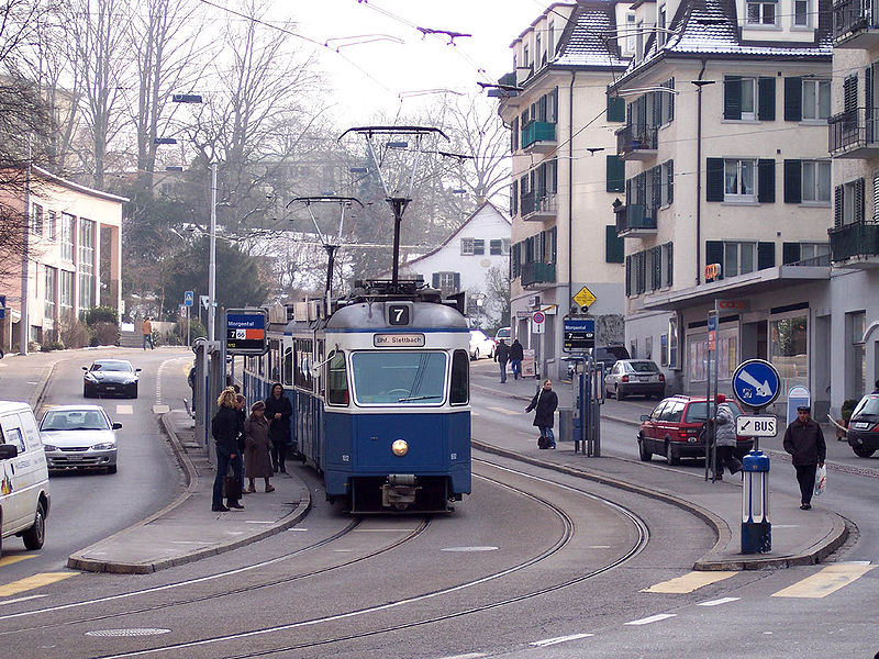
- Morgental • Lines: 7 (2 min walk)
- Butzenstrasse • Lines: 7 (3 min walk)
Bus
- Butzenstrasse • Lines: 184, 185, 70, N12 (3 min walk)
- Morgental • Lines: 184, 185, 66, 70, N12 (3 min walk)
Trolleybus
- Morgental • Lines: 72 (5 min walk)
- Besenrainstrasse • Lines: 72 (7 min walk)
Ferry
- Zürich Wollishofen • Lines: 3731 (10 min walk)
- Zürichhorn • Lines: 3731 (32 min walk)
Train
- Zürich Wollishofen (10 min walk)
- Zürich Manegg (16 min walk)


