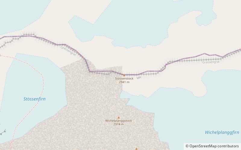
Grassengrat

Map
Facts and practical information
The Grassengrat is a multi-summited mountain of the Urner Alps, located on the border between the cantons of Obwalden and Uri in Central Switzerland. It lies on the range between the Titlis and the Gross Spannort. The main summit has an elevation of 2,941 metres and is named Stössenstock. ()
Elevation: 9649 ftProminence: 299 ftCoordinates: 46°46'4"N, 8°28'22"E
Location
Uri
ContactAdd
Social media
Add
Day trips
Grassengrat – popular in the area (distance from the attraction)
Nearby attractions include: Titlis, Trübsee, Steinsee, Rotstöckli.


