Commune de la St-Cergue, Saint-Cergue
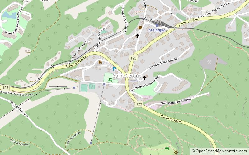
Map
Map

Facts and practical information
Commune de la St-Cergue (address: Place Sy-Vieuxville 1) is a place located in Saint-Cergue (Vaud canton) and belongs to the category of city hall.
It is situated at an altitude of 3428 feet, and its geographical coordinates are 46°26'46"N latitude and 6°9'29"E longitude.
Among other places and attractions worth visiting in the area are: La Barillette (nature, 51 min walk), Arzier-Le Muids (locality, 67 min walk), Genolier (locality, 76 min walk).
Coordinates: 46°26'46"N, 6°9'29"E
Address
Place Sy-Vieuxville 1Saint-Cergue
ContactAdd
Social media
Add
Day trips
Commune de la St-Cergue – popular in the area (distance from the attraction)
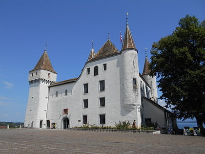
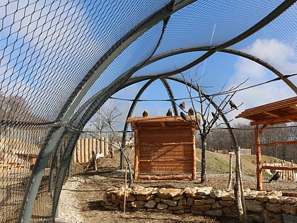
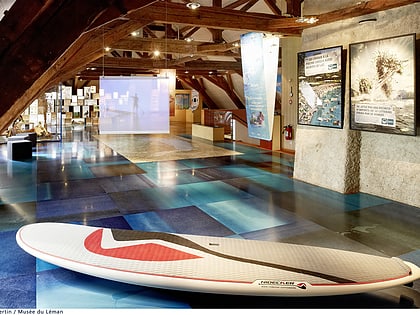
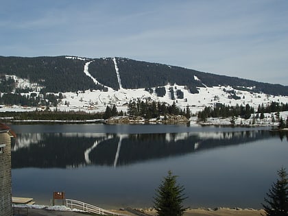
Nearby attractions include: Nyon Castle, La Dôle, Zoo La Garenne, Bonmont Abbey.

