Sigriswiler Rothorn
Map

Map

Facts and practical information
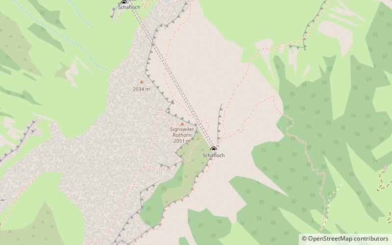
The Sigriswiler Rothorn is a mountain of the Emmental Alps, located north of Sigriswil in the canton of Bern. With an elevation of 2,051 metres above sea level, it is the culminating point of the chain named Sigriswilergrat. ()
Location
Bern
ContactAdd
Social media
Add
Day trips
Sigriswiler Rothorn – popular in the area (distance from the attraction)
Nearby attractions include: Oberhofen Castle, Harder Kulm, Lake Thun, Spiez Castle.


