Stelli
#1321 among destinations in Switzerland


Facts and practical information
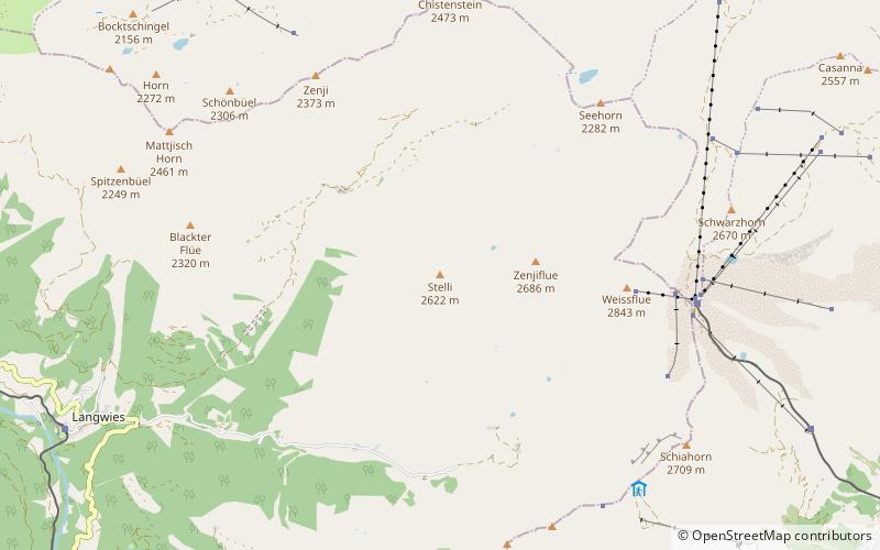
The Stelli is a mountain of the Plessur Alps, overlooking Langwies in the canton of Graubünden. It lies west of the Weissfluh. ()
GraubündenSwitzerland
Stelli – popular in the area (distance from the attraction)
Nearby attractions include: Obersee, Lake Davos, Parsenn, Langwieser Viaduct.
 Nature, Natural attraction, Lake
Obersee, Arosa
136 min walk • Nestled in the serene mountain landscape of Arosa, Switzerland, the Obersee is a pristine alpine lake that beckons to nature lovers and outdoor enthusiasts alike. This tranquil body of water is surrounded by lush forests and rugged peaks, providing a picturesque...
 Outdoor activity at a mountain lake
Lake Davos, Davos
110 min walk • Lake Davos is a small natural lake at Davos, Switzerland. Its surface area is 0.59 km² and the maximum depth is 54 m.
 Winter sport, Ski area
Parsenn, Davos
54 min walk • Parsenn is a ski area near Davos, Switzerland, offering 35 ski runs. The Parsenn area is the largest and most modern of Davos' five mountains.
 Bridge
Langwieser Viaduct
80 min walk • The Langwieser Viaduct is a single track reinforced concrete railway bridge spanning the Plessur River and the Sapünerbach, near Langwies, in the Canton of Graubünden, Switzerland.
 Nature, Natural attraction, Mountain
Gotschnagrat
107 min walk • The Gotschnagrat is a mountain of the Plessur Alps, overlooking Klosters in the canton of Graubünden. It is a minor prominence on the ridge descending east of the Casanna. The Gotschnagrat can be reached by cable car from Klosters. In winter it is part of the large ski area between Davos and Klosters.
 Nature, Natural attraction, Mountain
Weissfluhjoch, Davos
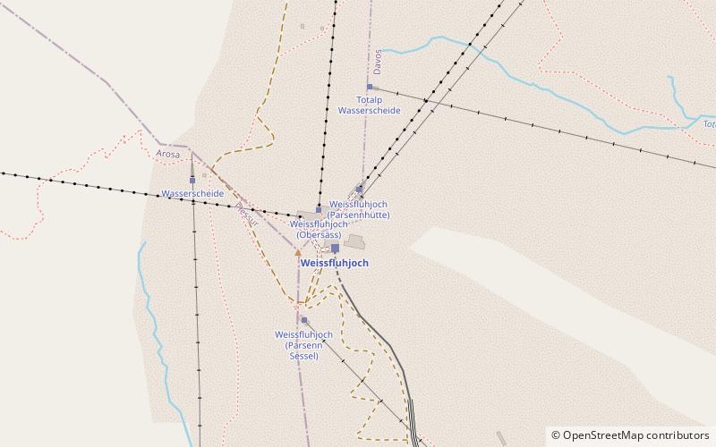
50 min walk • The Weissfluhjoch is a summit southeast of the Weissfluh situated in the Plessur Range in Graubünden. Since 1932, a funicular railway leads to its summit from Davos.
 Nature, Natural attraction, Lake
Schwarzsee
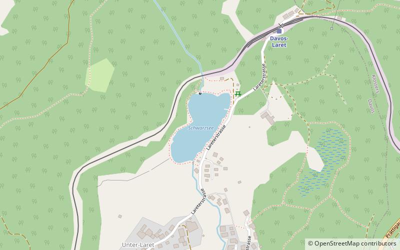
127 min walk • Schwarzsee is a lake at Laret, between Davos and Klosters in the Grisons, Switzerland. It is located at an elevation of 1504 m.
 Church
Davos Frauenkirch
125 min walk • The Reformed Church in Frauenkirch near Davos is a Protestant Reformed house of worship under the preservation order of the canton of Graubünden.
 Nature, Natural attraction, Mountain
Schiahorn
57 min walk • The Schiahorn is a mountain of the Plessur Alps, overlooking Davos in the canton of Graubünden. The Schiahorn is located just east of the Strela Pass, where the summit normal route starts.
 Protected area, Nature, Natural attraction
Life zones of central Europe
50 min walk • Central Europe contains several life zones, depending on location and elevation. Geographically, Central Europe lies between the Baltic Sea and the Apennine and Balkan peninsulas.

