Schrattenkalk Formation, Stansstad
Map

Map

Facts and practical information
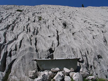
The Schrattenkalk Formation is a Barremian to Aptian geologic formation in the Alps. The limestone is highly karstified. Fossil ornithopod tracks have been reported from the formation. Iguanodont tracks have been registered in the Swiss portion of the formation. The famous north face of the Eiger is partly composed of Schrattenkalk, as well as the Sturmannshöhle in southernmost Bavaria, Germany, and the Hölloch and Silberen system karst caves in Switzerland. ()
Address
Stansstad
ContactAdd
Social media
Add
Day trips
Schrattenkalk Formation – popular in the area (distance from the attraction)
Nearby attractions include: Glasi Hergiswil, Schnitzturm, Rotzberg Castle, Voliére.
Frequently Asked Questions (FAQ)
Which popular attractions are close to Schrattenkalk Formation?
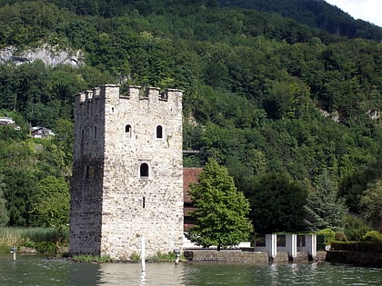
Nearby attractions include Voliére, Stansstad (8 min walk), Schnitzturm, Stansstad (14 min walk).


