Stadtgarten, Winterthur
Map

Gallery

Facts and practical information
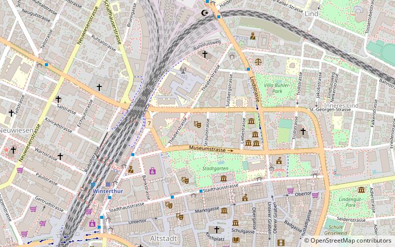
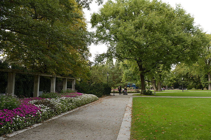
The Stadtgarten is a city park in the center of Winterthur. It covers an area of 22,743 m² is with its location directly next to the old town the most centrally located park in the city.
Area: 5.62 acres (0.0088 mi²)Elevation: 1457 ft a.s.l.Coordinates: 47°30'8"N, 8°43'40"E
Address
Winterthur
ContactAdd
Social media
Add
Day trips
Stadtgarten – popular in the area (distance from the attraction)
Nearby attractions include: Am Römerholz, Kunstmuseum Winterthur, Fotomuseum Winterthur, Vitudurum.
Frequently Asked Questions (FAQ)
Which popular attractions are close to Stadtgarten?
Nearby attractions include Kunstmuseum Winterthur, Winterthur (4 min walk), Oskar Reinhart am Stadtgarten, Winterthur (4 min walk), Gewerbemuseum, Winterthur (6 min walk), Town Church, Winterthur (6 min walk).
How to get to Stadtgarten by public transport?
The nearest stations to Stadtgarten:
Trolleybus
Bus
Train
Trolleybus
- Schmidgasse • Lines: 1, 3 (4 min walk)
- Bezirksgebäude • Lines: 3 (4 min walk)
Bus
- Schmidgasse • Lines: 10, 5, 7, N60, N61, N64, N68 (4 min walk)
- Bezirksgebäude • Lines: 10, N64 (4 min walk)
Train
- Winterthur (6 min walk)
- Winterthur Grüze (29 min walk)


