Bella Tola
Map

Map

Facts and practical information
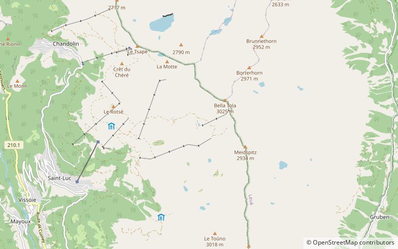
The Bella Tola is a mountain of the Swiss Pennine Alps, overlooking Saint-Luc in the canton of Valais. With an elevation of 3,025 metres above sea level, it is the highest summit of the subrange north of the Meidpass. The Bella Tola lies near the northern end of the Weisshorn chain. ()
Location
Valais
ContactAdd
Social media
Add
Day trips
Bella Tola – popular in the area (distance from the attraction)
Nearby attractions include: Anniviers, Lac de Géronde, Rainer Maria Rilke Foundation, Illhorn.


