Wandfluhhorn

Gallery (1)
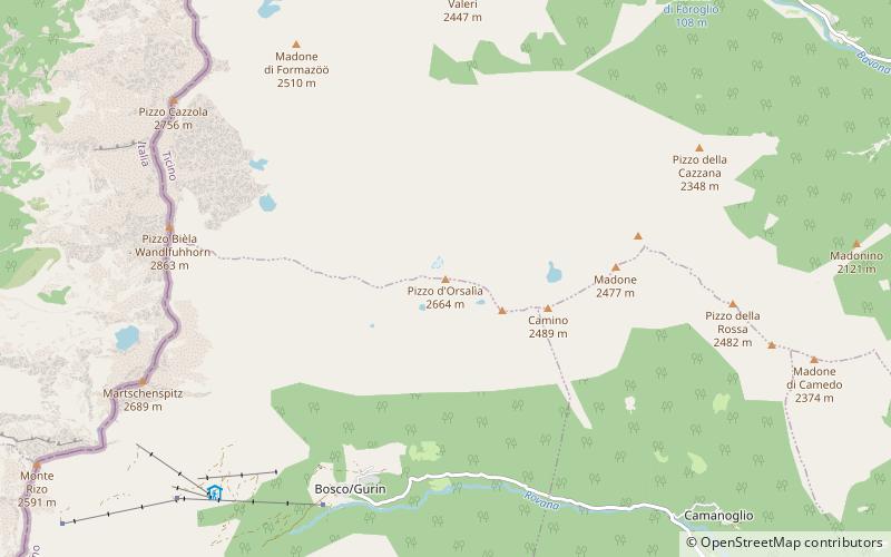
Map
Map
Facts and practical information
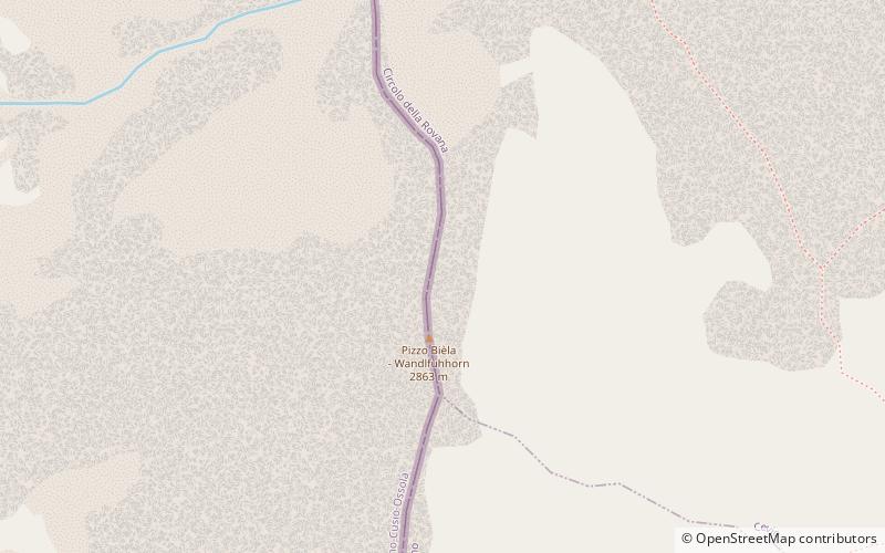
The Wandfluhhorn is a mountain of the Lepontine Alps, located on the border between Switzerland and Italy. It overlooks Bosco/Gurin on its eastern side and Formazza on its western side. Reaching a height of 2,863 metres above sea level, the Wandfluhhorn is the highest summit of the Bosco/Gurin valley. ()
Location
Ticino
ContactAdd
Social media
Add
Day trips