Aiguille de la Tsa
Map

Map

Facts and practical information
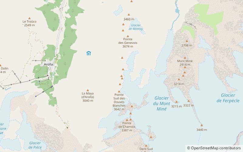
The Aiguille de la Tsa is a mountain of the Swiss Pennine Alps, overlooking Arolla in the canton of Valais. It lies on the range culminating at the Dent de Perroc, between the valley of Arolla and the Mont Miné Glacier. ()
Location
Valais
ContactAdd
Social media
Add
Day trips
Aiguille de la Tsa – popular in the area (distance from the attraction)
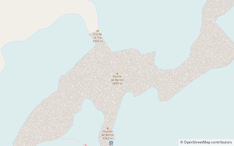
Nearby attractions include: Bertol Hut, Pointe de Bertol, Dent de Perroc, Mont Miné Glacier.


