Staufberg

Gallery (3)
Map
Map
Gallery
Facts and practical information
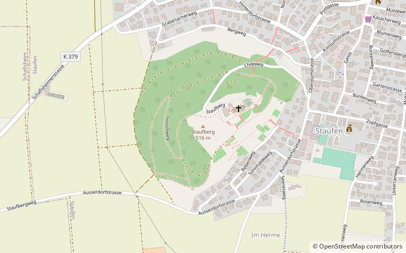
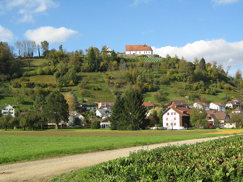
The Staufberg is a prominent hill on the territory of the municipality of Staufen in the canton of Aargau in Switzerland. Its summit is 516.7 m above sea level. At the top is a group of buildings consisting of the Staufberg Reformed Church, several ecclesiastical outbuildings and the cemetery.
Location
Staufberg 1Staufen 5603 Aargau
ContactAdd
Social media
Add
Day trips


