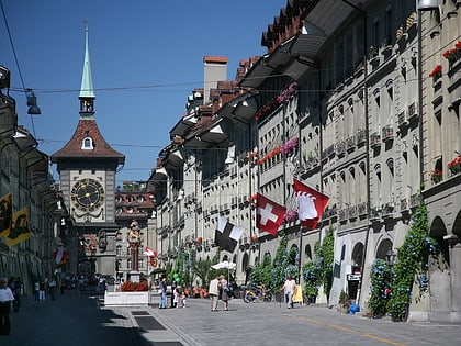
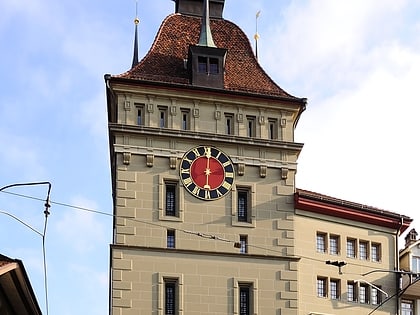
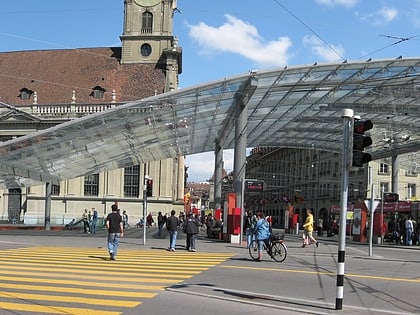
Neuengasse, Berne
Map
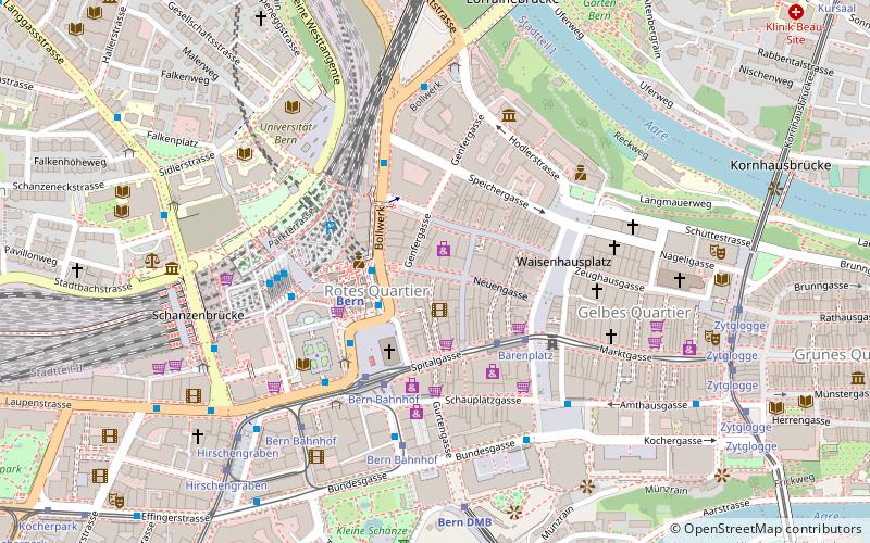
Map

Facts and practical information
The Neuengasse is one of the streets in the Old City of Bern, the medieval city center of Bern, Switzerland. It is part of the Äussere Neustadt which was built during the third expansion of the city in 1344 to 1346. It runs from Waisenhausplatz in the east toward the main train station. It is part of the UNESCO Cultural World Heritage Site that encompasses the Old City. ()
Address
Innere Stadt (Rotes Quartier)Berne
ContactAdd
Social media
Add
Day trips
Neuengasse – popular in the area (distance from the attraction)
Nearby attractions include: Kramgasse, Bundesplatz, Kunstmuseum, Society for Art History in Switzerland.
Frequently Asked Questions (FAQ)
Which popular attractions are close to Neuengasse?
Nearby attractions include Aarbergergasse, Berne (2 min walk), Spitalgasse, Berne (3 min walk), Pfeiferbrunnen, Berne (3 min walk), Church of the Holy Ghost, Berne (3 min walk).
How to get to Neuengasse by public transport?
The nearest stations to Neuengasse:
Light rail
Train
Trolleybus
Tram
Bus
Light rail
- Bern RBS • Lines: Re, S7, S8, S9 (2 min walk)
Train
- Bern (3 min walk)
- Bern DMB (6 min walk)
Trolleybus
- Bern Bahnhof • Lines: 11, 12, 20 (3 min walk)
- Bärenplatz • Lines: 12 (3 min walk)
Tram
- Bärenplatz • Lines: 6, 7, 8, 9 (3 min walk)
- Bern Bahnhof • Lines: 3, 6, 7, 8, 9 (4 min walk)
Bus
- Bern Bahnhof • Lines: 10, 17, 18, 19, 21, 30, 334, 34, 6, 9, 9B, M1, M17, M3, M5, M6, M98 (3 min walk)
- Bern Hauptbahnhof • Lines: 100, 101, 102, 103, 104, 105, 106, 107 (4 min walk)

