Nydeggstalden, Berne

Map
Facts and practical information
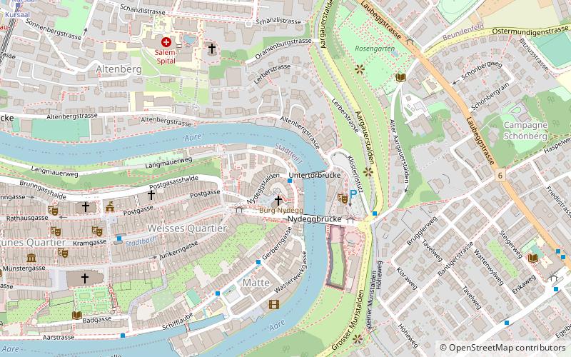
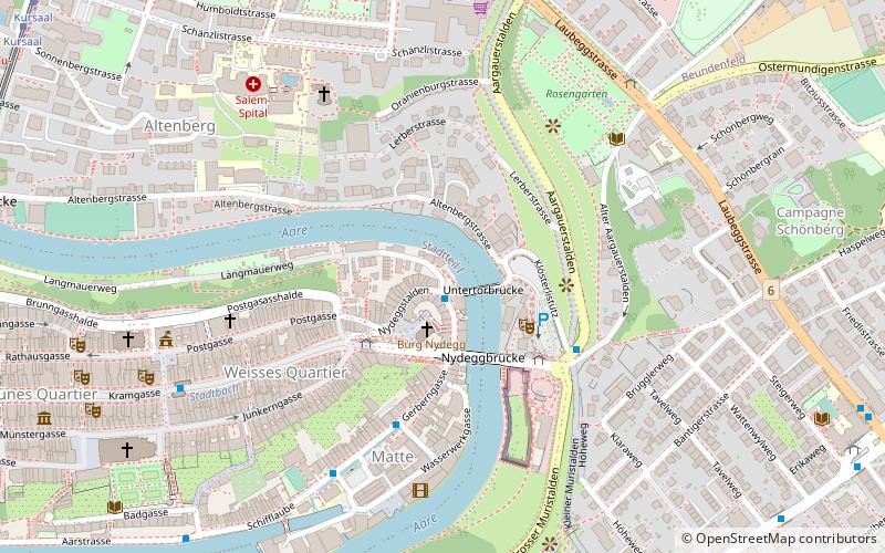
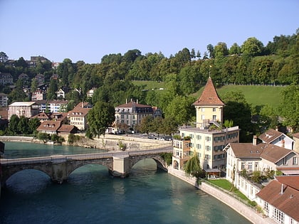
The Nydeggstalden is one of the streets in the Old City of Bern, the medieval city center of Bern, Switzerland. It is part of the Nydegg which was part of the medieval industrial section of Bern. It is a semi-circular road running from Gerechtigkeitsgasse toward the Aare river and the Untertorbrücke. It is part of the UNESCO Cultural World Heritage Site that encompasses the Old City. ()
Length: 328 ftCoordinates: 46°56'57"N, 7°27'27"E
Address
Innere Stadt (Schwarzes Quartier)Berne
ContactAdd
Social media
Add
Day trips
Nydeggstalden – popular in the area (distance from the attraction)
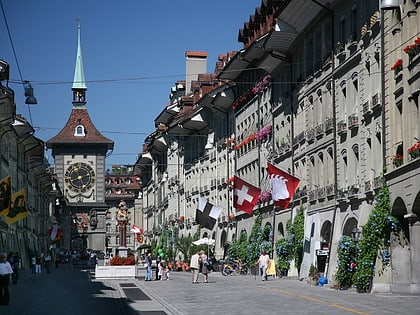
Nearby attractions include: Kramgasse, Bern Minster, Bärengraben, Nydeggkirche.
Frequently Asked Questions (FAQ)
Which popular attractions are close to Nydeggstalden?
Nearby attractions include Läuferbrunnen, Berne (1 min walk), Mattequartier, Berne (1 min walk), Ländtetor, Berne (1 min walk), Nydeggkirche, Berne (1 min walk).
How to get to Nydeggstalden by public transport?
The nearest stations to Nydeggstalden:
Bus
Trolleybus
Tram
Train
Light rail
Bus
- Läuferplatz • Lines: 30 (1 min walk)
- Nydegg • Lines: M3 (3 min walk)
Trolleybus
- Nydegg • Lines: 12 (3 min walk)
- Bärenpark • Lines: 12 (4 min walk)
Tram
- Kursaal • Lines: 9 (12 min walk)
- Zytglogge • Lines: 6, 7, 8, 9 (13 min walk)
Train
- Marzili (19 min walk)
- Bern DMB (20 min walk)
Light rail
- Bern RBS • Lines: Re, S7, S8, S9 (22 min walk)


