Stettlen, Berne
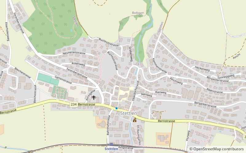
Map
Facts and practical information
Stettlen is a municipality in the Bern-Mittelland administrative district in the canton of Bern in Switzerland. ()
Getting there by public transportation
Public transportation stops near this location
- Bus
- Light rail
- Train
 Bus
Bus
- Calculate routeStettlen 6 min walk
- Calculate routeDeisswil 14 min walk
- Calculate routeBoll-Utzigen 30 min walk
- Calculate routeStettlen 6 min walk
- Calculate routeDeisswil 15 min walk
- Calculate routeBoll-Utzigen 30 min walk
- Calculate routeGumpisbühlweg 17 min walk
- Calculate routeAeschiweg/Feldackerweg 21 min walk
- Calculate routeObermoosstrasse 21 min walk
- Calculate routeOstermundigen Rüti 24 min walk
Day trips


Frequently Asked Questions (FAQ)
How to get to Stettlen by public transport?
The nearest stations to Stettlen:
Train
Light rail
Bus
Train
- Stettlen (6 min walk)
- Deisswil (14 min walk)
Light rail
- Stettlen • Lines: S7 (6 min walk)
- Deisswil • Lines: S7 (15 min walk)
Bus
- Gumpisbühlweg • Lines: 782 (17 min walk)
- Aeschiweg/Feldackerweg • Lines: 782 (21 min walk)