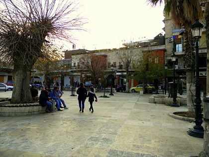
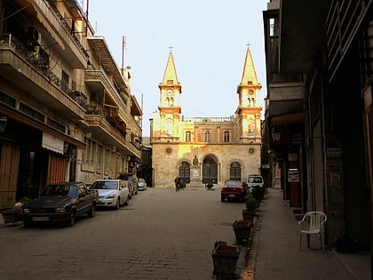
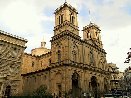
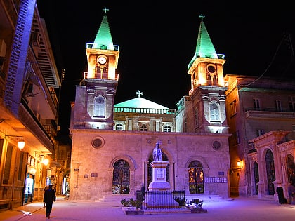
Aleppo Public Park, Aleppo
Map
Gallery
Facts and practical information
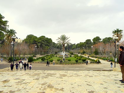
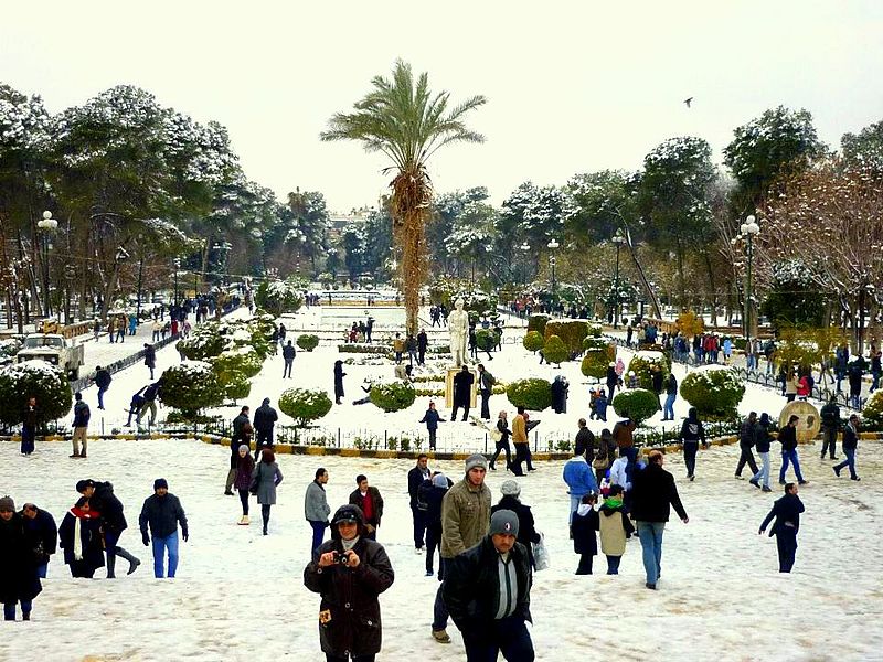
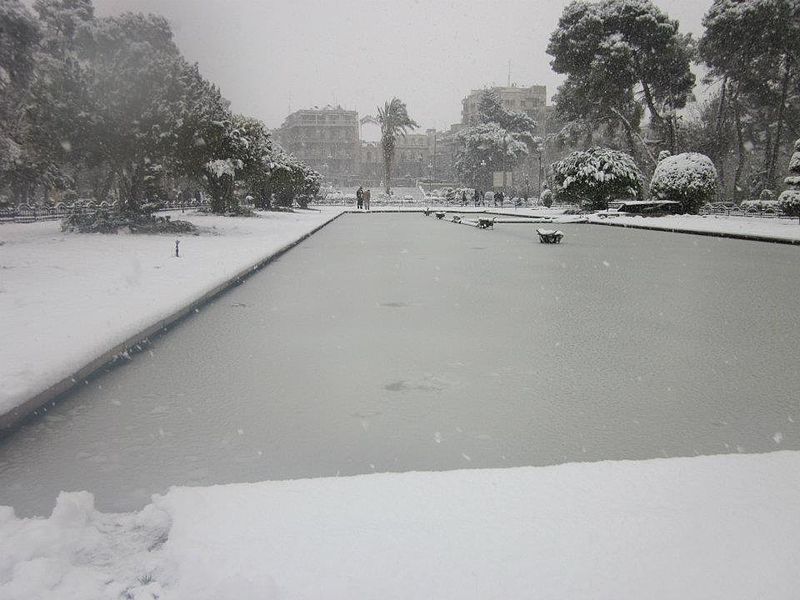
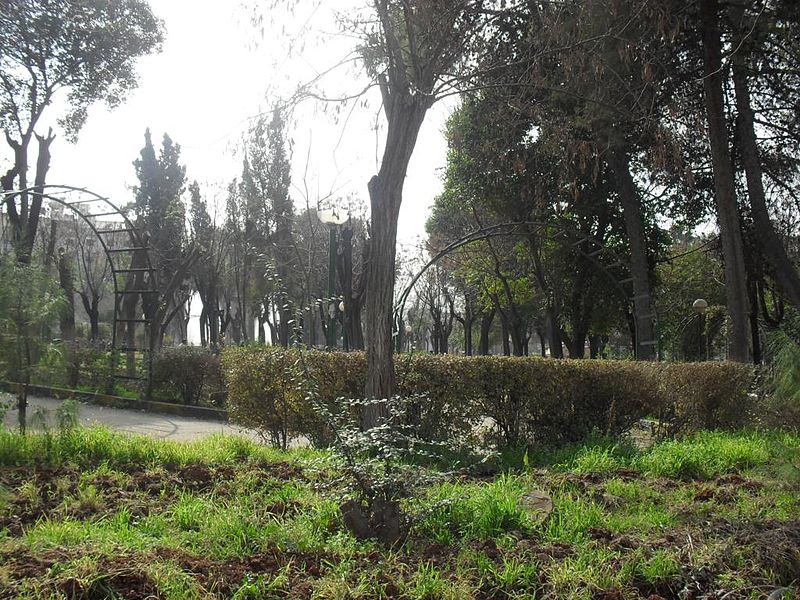
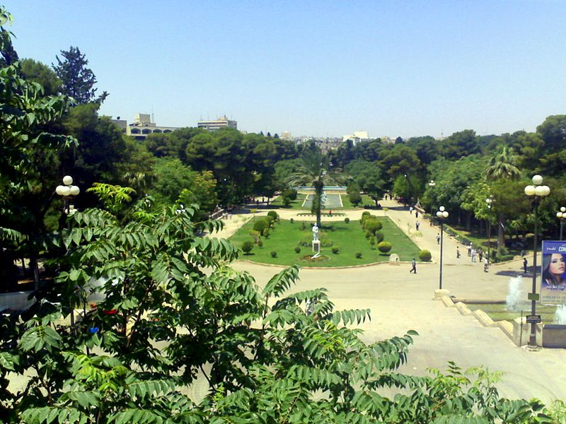
Aleppo Public Park is a 17 hectare urban park located in Aleppo, Syria. With its hexagonal shape the park is located in Gare de Baghdad district covering an area between Jamiliyeh and Aziziyeh districts. It is bordered by "Majd Al-Deen Al-Jabiri" street from the east, "Kamel Al-Ghazzi" street from the west and Saadallah Al-Jabiri Square from the south. The park is intersected by Queiq River. ()
Local name: الحديقة العامة بحلب Created: 1949Elevation: 1243 ft a.s.l.Coordinates: 36°12'35"N, 37°8'50"E
Address
Aleppo
ContactAdd
Social media
Add
Day trips
Aleppo Public Park – popular in the area (distance from the attraction)
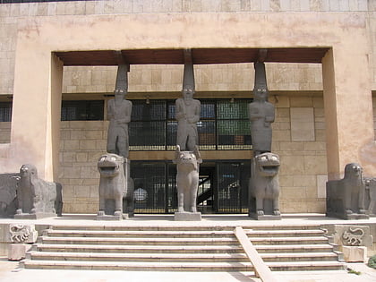
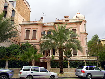
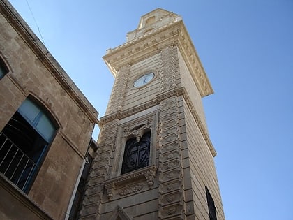
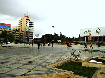
Nearby attractions include: National Museum of Aleppo, Villa Rose, Forty Martyrs Cathedral, Saadallah al-Jabiri Square.
Frequently Asked Questions (FAQ)
Which popular attractions are close to Aleppo Public Park?
Nearby attractions include Villa Rose, Aleppo (4 min walk), Saadallah al-Jabiri Square, Aleppo (5 min walk), Liberty Square, Aleppo (6 min walk), Armenian Evangelical Emmanuel Church, Aleppo (6 min walk).
How to get to Aleppo Public Park by public transport?
The nearest stations to Aleppo Public Park:
Train
Bus
Train
- Aleppo (9 min walk)
Bus
- المنشية القديمة (9 min walk)
- موقف القصر البلدي • Lines: الحمدانية غربي (13 min walk)
