Tell Zeidan
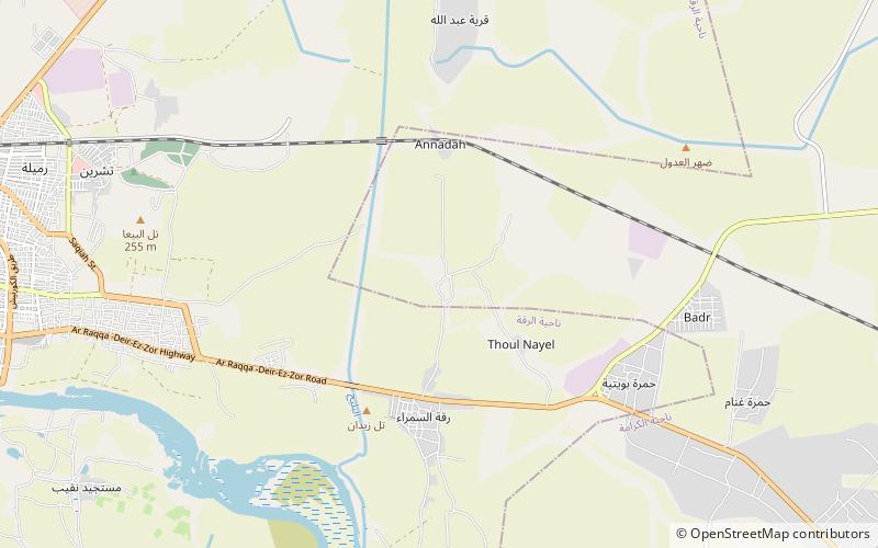
Map
Facts and practical information
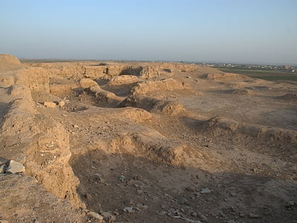
Tell Zeidan is an archaeological site of the Ubaid culture in northern Syria, from about 5500 to 4000 BC. The dig consists of three large mounds on the east bank of the Balikh River, slightly north of its confluence with the Euphrates River, and is located about 5 km east of the modern Syrian city of Raqqa. This site is included within the historical region known as Mesopotamia and the Tigris-Euphrates river system, often called the Cradle of Civilization. ()
Location
Ar Raqqah
ContactAdd
Social media
Add
Day trips
Tell Zeidan – popular in the area (distance from the attraction)
Nearby attractions include: Raqqa Museum, Qasr al-Banat, Tuttul, Great Mosque of Raqqa.
