Baghdad Street, Damascus
Map
Facts and practical information
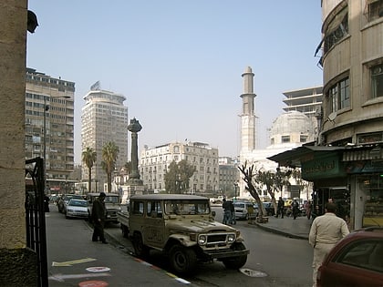
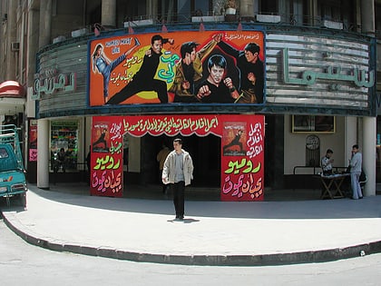
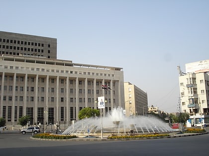
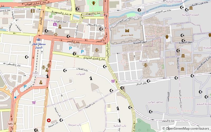
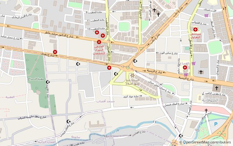
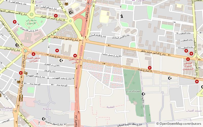
Baghdad Street is a main street in central Damascus, Syria. Located to the north of the old city, the street starts at Sabaa Bahrat Square and ends at Tahrir Square. ()
Length: 4921 ftCoordinates: 33°31'11"N, 36°18'9"E
Address
Damascus
ContactAdd
Social media
Add
Day trips
Baghdad Street – popular in the area (distance from the attraction)
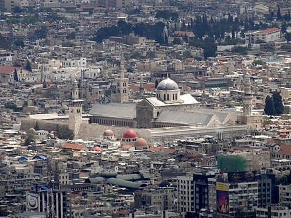
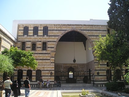
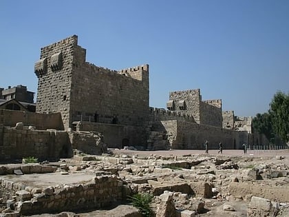
Nearby attractions include: Umayyad Mosque, Azm Palace, Citadel of Damascus, Mausoleum of Saladin.
Frequently Asked Questions (FAQ)
Which popular attractions are close to Baghdad Street?
Nearby attractions include Iman, Damascus (8 min walk), Sarouja, Damascus (10 min walk), Sabaa Bahrat Square, Damascus (10 min walk), Bab al-Faraj, Damascus (11 min walk).
How to get to Baghdad Street by public transport?
The nearest stations to Baghdad Street:
Train
Bus
Train
- Damascus Hejaz Station (19 min walk)
Bus
- نقطة شحن ليلي 2 (24 min walk)
- محطة جسر الرئيس (24 min walk)
