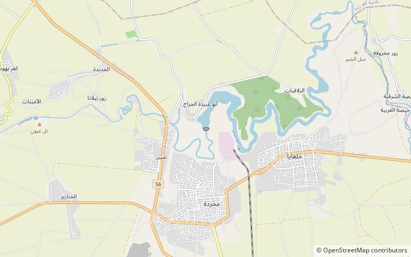
Mahardah Dam

Map
Facts and practical information
The Mahardah Dam, also spelled Mhardeh Dam, is an embankment dam on the Orontes River in the city of Mahardah, Hama Governorate, Syria. It was completed in 1960 with the primary purpose of irrigation. It was constructed by the Bulgarian firm Hydrostroy along with the al-Rastan Dam, upstream and also on the Orontes. ()
Opened: 1960 (66 years ago)Height: 135 ftReservoir area: 1.74 mi²Coordinates: 35°16'6"N, 36°34'37"E
Location
Hamah
ContactAdd
Social media
Add
Day trips
Mahardah Dam – popular in the area (distance from the attraction)
Nearby attractions include: Shaizar.
