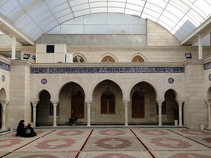
Khan al-Harir, Damascus
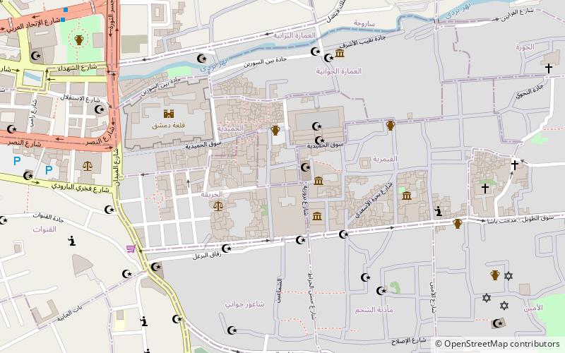
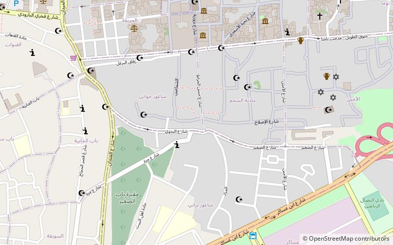
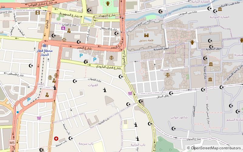
Map
Facts and practical information
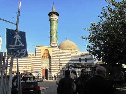
Khan al-Harir is a large khan in the Old City of Damascus. ()
Completed: 1574 (452 years ago)Coordinates: 33°30'37"N, 36°18'20"E
Address
Damascus
ContactAdd
Social media
Add
Day trips
Khan al-Harir – popular in the area (distance from the attraction)
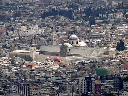
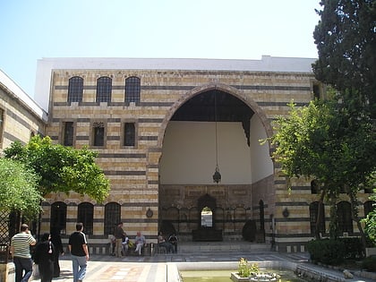
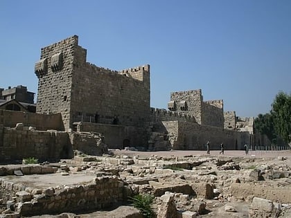
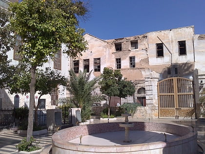
Nearby attractions include: Umayyad Mosque, Azm Palace, Citadel of Damascus, Maktab Anbar.
Frequently Asked Questions (FAQ)
Which popular attractions are close to Khan al-Harir?
Nearby attractions include Ancient City of Damascus, Damascus (2 min walk), Al-Buzuriyah Souq, Damascus (2 min walk), Azm Palace, Damascus (2 min walk), Khan As'ad Pasha, Damascus (3 min walk).
How to get to Khan al-Harir by public transport?
The nearest stations to Khan al-Harir:
Bus
Train
Bus
- كراجات الست (16 min walk)
- Damascus Transportation (20 min walk)
Train
- Damascus Hejaz Station (16 min walk)
