Syrian Coastal Mountain Range
Map

Map

Facts and practical information
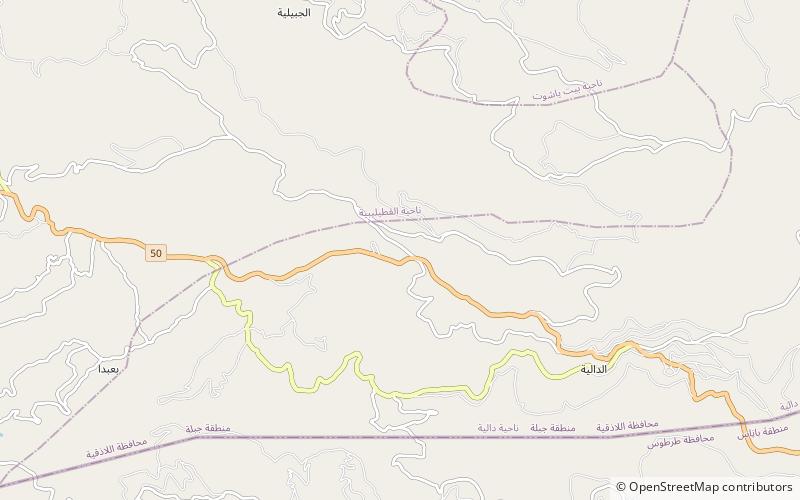
The Coastal Mountain Range also called Al-Anṣariyyah is a mountain range in northwestern Syria running north–south, parallel to the coastal plain. The mountains have an average width of 32 kilometres, and their average peak elevation is just over 1,200 metres with the highest peak, Nabi Yunis, reaching 1,562 metres, east of Latakia. In the north the average height declines to 900 metres, and to 600 metres in the south. ()
Location
Lattakia
ContactAdd
Social media
Add
Day trips
Syrian Coastal Mountain Range – popular in the area (distance from the attraction)
Nearby attractions include: Aleika Castle, Forestry in Syria.


