Afrin Dam

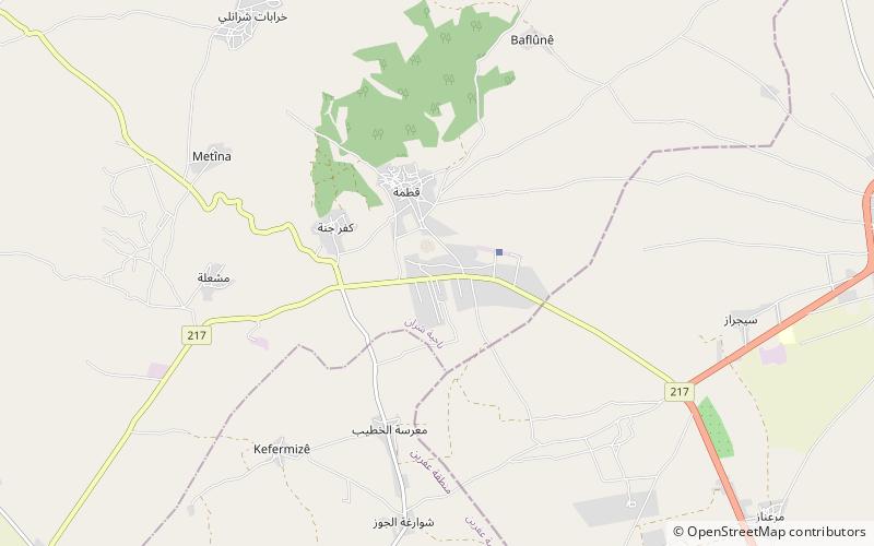
Map
Facts and practical information
The Afrin Dam, officially 17 April Dam, also called Maydanki Dam, is an earth-filled water storage and hydroelectric power dam on the Afrin River in northwest Syria. It provides drinking water to almost 200,000 people, irrigates about 30,000 hectares of olives, fruit trees and agricultural crops, and supplies 25 MW of hydroelectric power. It is currently under the control of the Turkish Army. ()
Local name: سد عفرينOpened: 24 April 1977 (48 years ago)Length: 3225 ftHeight: 240 ftReservoir area: 3.57 mi²Coordinates: 36°37'23"N, 36°52'24"E
Location
Aleppo
ContactAdd
Social media
Add
Day trips
Afrin Dam – popular in the area (distance from the attraction)
Nearby attractions include: Mamoun University for Science and Technology.
