Bab al-Ahmar, Aleppo
Map
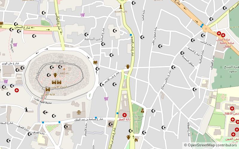
Map

Facts and practical information
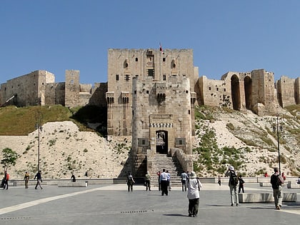
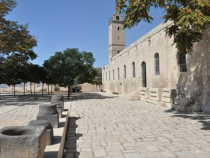
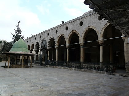
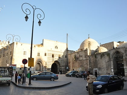
Bab al-Ahmar meaning the Red Gate, was one of the nine historical gates of the Ancient City of Aleppo, Syria. The name was derived from the village of al-Hamr as the gate was leading to the village at the eastern suburbs of ancient Aleppo. ()
Local name: باب الأحمرCoordinates: 36°11'58"N, 37°10'2"E
Address
Aleppo
ContactAdd
Social media
Add
Day trips
Bab al-Ahmar – popular in the area (distance from the attraction)
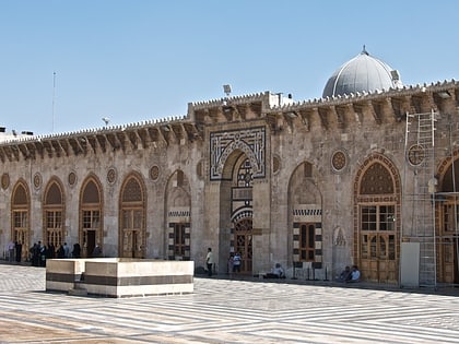
Nearby attractions include: Citadel of Aleppo, Great Mosque of Aleppo, Al-Shibani Church, Al-Sultaniyah Madrasa.
Frequently Asked Questions (FAQ)
Which popular attractions are close to Bab al-Ahmar?
Nearby attractions include Altun Bogha Mosque, Aleppo (6 min walk), Hammam Yalbugha, Aleppo (6 min walk), Aleppo Citadel Museum, Aleppo (7 min walk), Citadel of Aleppo, Aleppo (7 min walk).
How to get to Bab al-Ahmar by public transport?
The nearest stations to Bab al-Ahmar:
Bus
Train
Bus
- Karâj ash sharqî Bus Station (18 min walk)
- المنشية الجديدة (25 min walk)
Train
- Aleppo (39 min walk)

