Taipei Bridge, New Taipei City
Map
Gallery
Facts and practical information
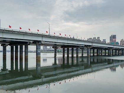
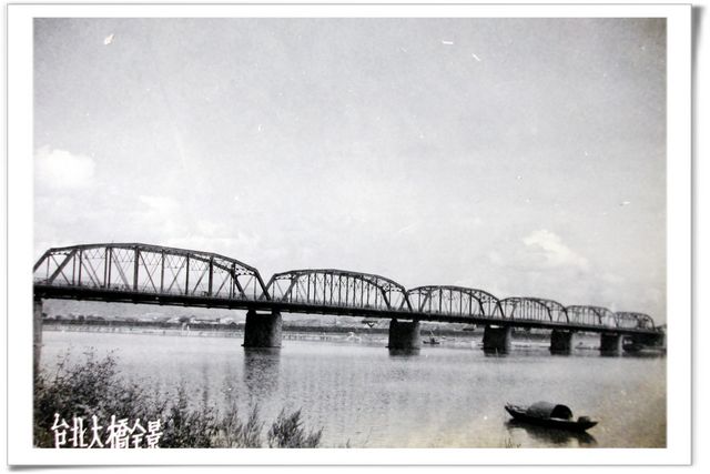
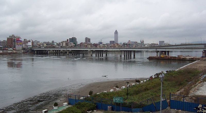
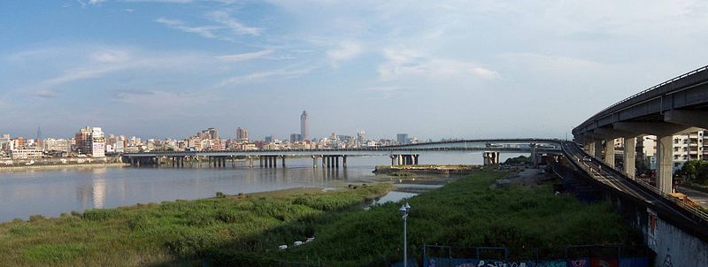
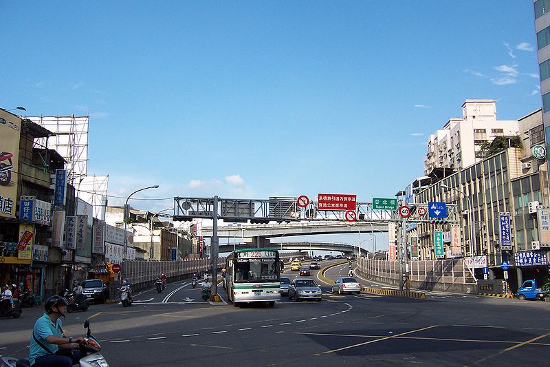
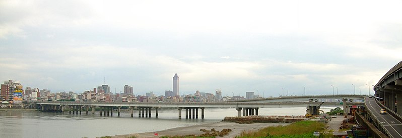
Taipei Bridge is a motor-vehicle bridge across the Tamsui River connecting Taipei with Sanchong District, New Taipei City in Taiwan. A central span carries automobile and some motorcycle traffic while narrower spans on either side carry most motorcycle traffic along with bicycle pedestrian traffic. The central bridge is 481.6 meters in length. ()
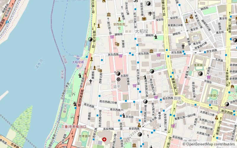
Local name: 臺北大橋 Completed: 16 July 1996 (29 years ago)Length: 1580 ftWidth: 55 ftCoordinates: 25°3'49"N, 121°30'22"E
Address
New Taipei City
ContactAdd
Social media
Add
Day trips
Taipei Bridge – popular in the area (distance from the attraction)
Nearby attractions include: Taipei Fine Arts Museum, Dalongdong Baoan Temple, Zhongshan Metro Mall, Museum of Contemporary Art Taipei.
Frequently Asked Questions (FAQ)
Which popular attractions are close to Taipei Bridge?
Nearby attractions include Ama Museum, New Taipei City (8 min walk), Sun Yun-suan Memorial Museum, New Taipei City (8 min walk), Dihua Street, New Taipei City (9 min walk), Dadaocheng Wharf, New Taipei City (13 min walk).
How to get to Taipei Bridge by public transport?
The nearest stations to Taipei Bridge:
Bus
Metro
Train
Bus
- 福德南路 • Lines: 221, 306, 704 (6 min walk)
- Sanchong Police Substation • Lines: 225, 225區, 226, 274, 292, 292副, 306, 520, 616, 617, 636, 638, 704, 801, 803 (7 min walk)
Metro
- Taipei Bridge • Lines: O (9 min walk)
- Daqiaotou • Lines: O (11 min walk)
Train
- Taipei (34 min walk)
