Youth Park, New Taipei City
Map
Gallery
Facts and practical information
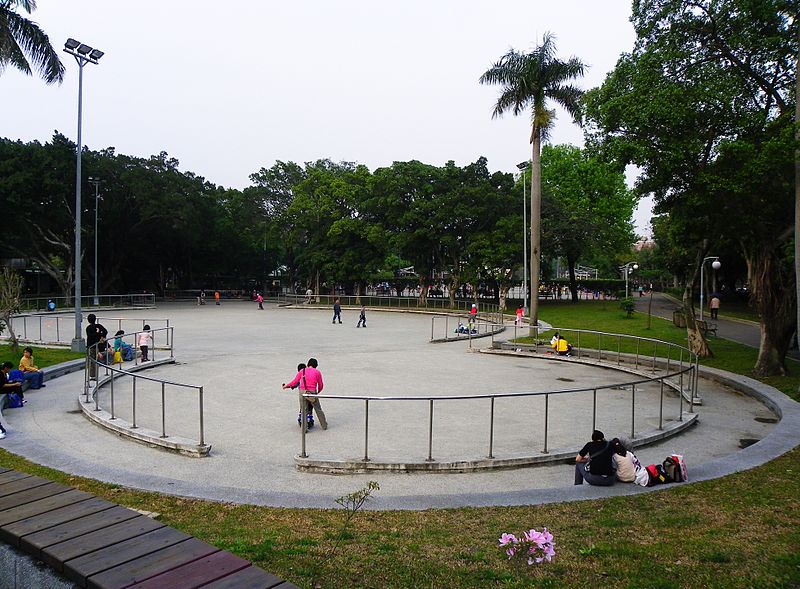
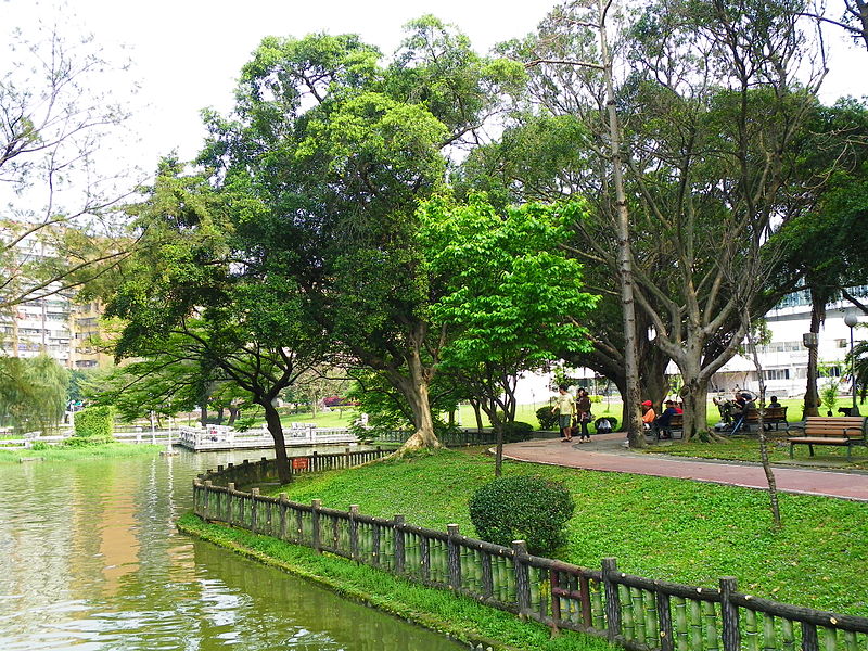
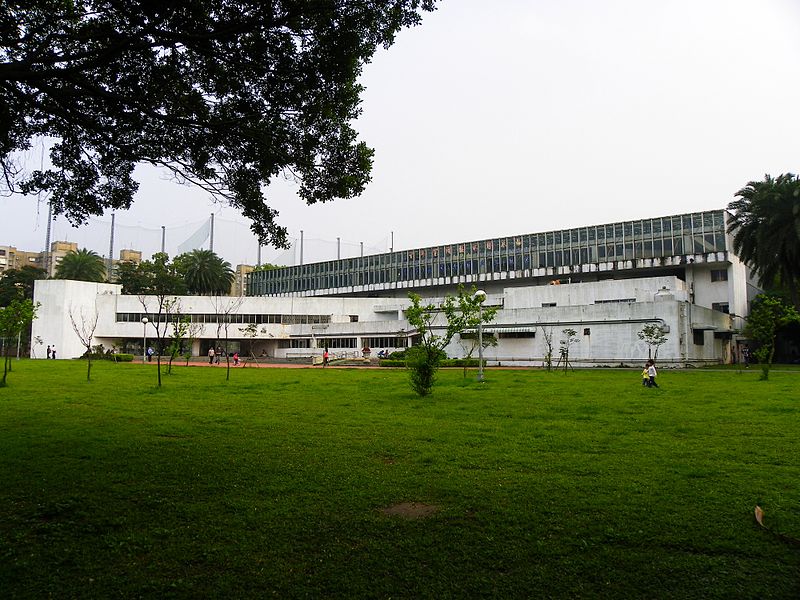
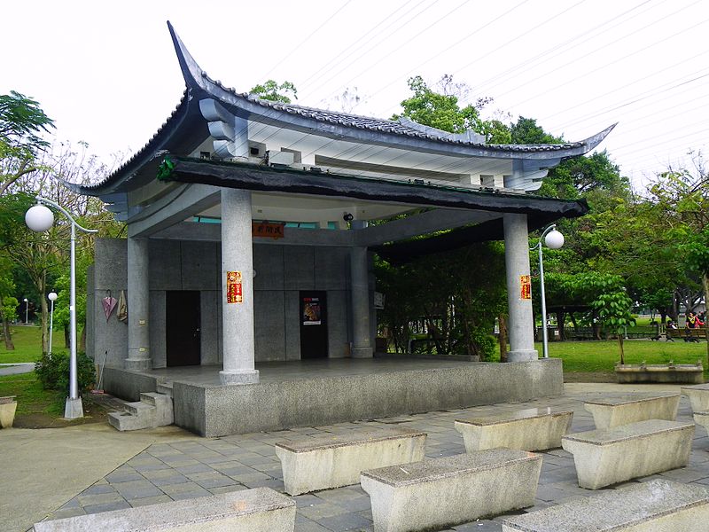
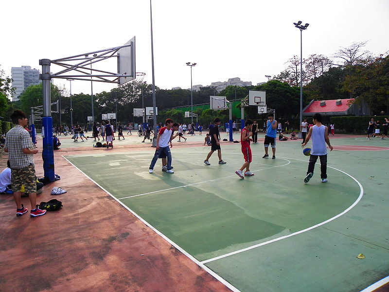
Youth Park is located in the eastern side of Wanhua District of Taipei City, bordering Guoxing Road to the east, Youth Road to the west, Water Source Road to the south, and Youth Road to the north, with an area of 24.44 hectares, surrounded by state and military residences, and is a dense area of state residences in Taipei City: in addition, the first phase of youth social housing built under Mayor Ke's administration in Taipei City is located at the intersection of Youth Road and Water Source Road.
Elevation: 46 ft a.s.l.Coordinates: 25°1'23"N, 121°30'18"E
Address
万华区 (騰雲里)New Taipei City
ContactAdd
Social media
Add
Day trips
Youth Park – popular in the area (distance from the attraction)
Nearby attractions include: National Theatre, National Museum of History, Bangka Lungshan Temple, Mengxia Park.
Frequently Asked Questions (FAQ)
Which popular attractions are close to Youth Park?
Nearby attractions include Taipei Botanical Garden, New Taipei City (15 min walk), National Museum of History, New Taipei City (18 min walk), Nanhai Academy, New Taipei City (19 min walk), Heping Road, New Taipei City (20 min walk).
How to get to Youth Park by public transport?
The nearest stations to Youth Park:
Bus
Train
Metro
Bus
- Youth Park • Lines: 20, 棕22 (4 min walk)
- Qingnian Rd. • Lines: 12, 20, 212直, 630, 棕22, 藍29 (4 min walk)
Train
- Wanhua (20 min walk)
Metro
- Longshan Temple • Lines: Bl (24 min walk)
- Dingxi • Lines: O (24 min walk)


