Wugu, New Taipei City

Gallery (1)
Map
Map
Facts and practical information
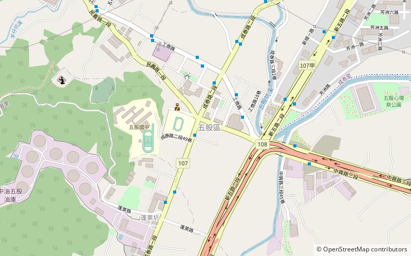
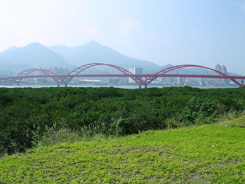
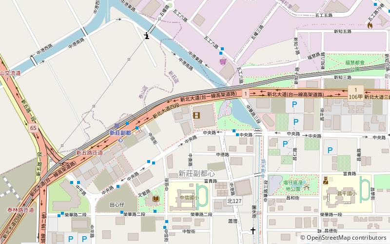
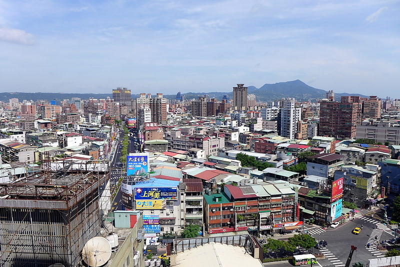
Wugu District is a suburban district in the western part of New Taipei City in northern Taiwan. It has an area of 34.86 km2 and a population of 82,255 people. ()
Address
New Taipei City
ContactAdd
Social media
Add
Getting there by public transportation
Public transportation stops near this location
- Bus
 Bus
Bus
- Calculate route五股區公所 1 min walk
- Calculate routeWugu Elementary School 1 min walk
- Calculate route立體停車場 3 min walk
- Calculate routeWugu Service Center 4 min walk
Day trips


Frequently Asked Questions (FAQ)
How to get to Wugu by public transport?
The nearest stations to Wugu:
Bus
Bus
- 五股區公所 • Lines: 581 (1 min walk)
- Wugu Elementary School • Lines: 508, 580, 583, 637, 638, 638副, 880 (1 min walk)