Ubungo Terminal, Dar es Salaam
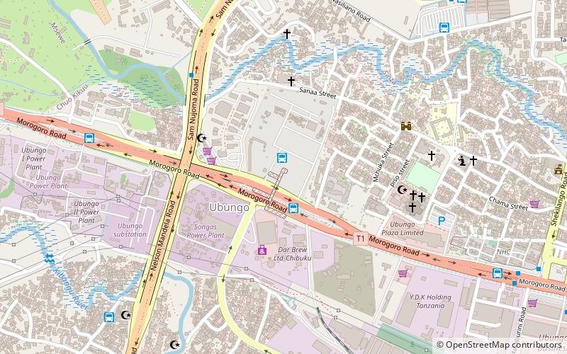
Map
Facts and practical information
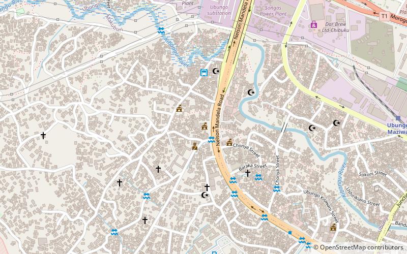
Ubungo Terminal is a place located in Dar es Salaam (Dar es Salaam region) and belongs to the category of church.
It is situated at an altitude of 180 feet, and its geographical coordinates are 6°47'34"S latitude and 39°12'41"E longitude.
Planning a visit to this place, one can easily and conveniently get there by public transportation. Ubungo Terminal is a short distance from the following public transport stations: Ubungo Terminal (bus, 2 min walk), Ubungo Maziwa (train, 12 min walk).
Among other places and attractions worth visiting in the area are: Riverside Hall (city hall, 15 min walk), University of Dar es Salaam (universities and schools, 27 min walk), Mlimani City (shopping, 39 min walk).
Coordinates: 6°47'34"S, 39°12'41"E
Getting there by public transportation
Public transportation stops near this location
- Bus
- Train
 Bus
Bus
- Calculate routeUbungo Terminal 2 min walk
- Calculate routeUbungo International Bus Terminal 2 min walk
- Calculate routeUbungo maji Terminal 11 min walk
- Calculate routeMawasiliano 12 min walk
- Calculate routeUbungo Maziwa 12 min walk
Day trips


Frequently Asked Questions (FAQ)
How to get to Ubungo Terminal by public transport?
The nearest stations to Ubungo Terminal:
Bus
Train
Bus
- Ubungo Terminal (2 min walk)
- Ubungo International Bus Terminal (2 min walk)
Train
- Ubungo Maziwa (12 min walk)