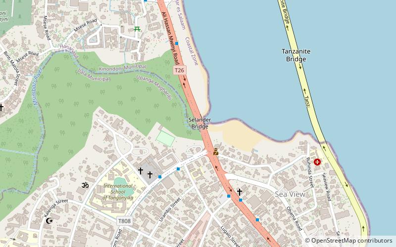
Selander Bridge, Dar es Salaam
Facts and practical information
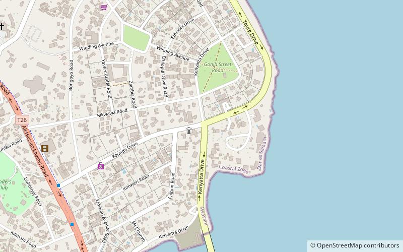
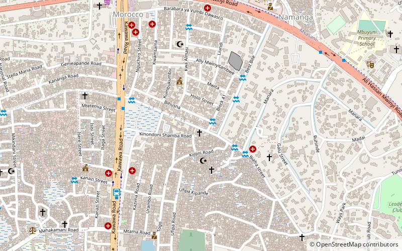
Selander Bridge, a vital artery in the bustling city of Dar es Salaam, Tanzania, is an architectural marvel that spans the Kurasini Creek, linking the central business district to the Oysterbay and the Msasani Peninsula. This strategic overpass serves as a critical conduit for the flow of traffic, commerce, and daily life in one of East Africa's most dynamic cities.
Constructed to ease the congestion that once plagued the city's older infrastructures, Selander Bridge stands as a testament to modern engineering and urban planning. Its robust design ensures the smooth transit of vehicles and pedestrians, effectively connecting different parts of the city and fostering economic growth by facilitating trade and mobility.
As a landmark, the bridge is not just a functional piece of infrastructure but also a point of reference and a symbol of the city's continuous development. While it may not boast the touristic allure of historical bridges found in other parts of the world, Selander Bridge is nonetheless a significant feature of Dar es Salaam's cityscape, representing the progress and aspirations of the nation.
The bridge's importance is further underscored by its strategic location in Tanzania's largest city and commercial hub. Dar es Salaam's rapid urbanization and economic expansion have made efficient transportation networks like the Selander Bridge more important than ever.
- Bus
 Bus
Bus
- Calculate routeMkwajuni 30 min walk
- Calculate routeBus Stand 32 min walk
- Calculate routeFire 33 min walk
- Calculate routeJangwani BRT Bus Terminal 35 min walk


Frequently Asked Questions (FAQ)
Which popular attractions are close to Selander Bridge?
How to get to Selander Bridge by public transport?
Bus
- Mkwajuni (30 min walk)
- Bus Stand (32 min walk)