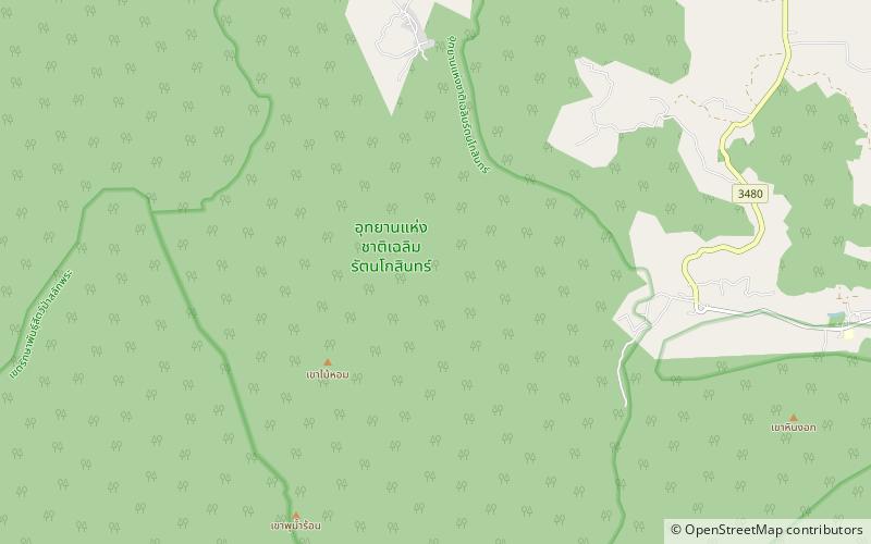
Chaloem Rattanakosin National Park


Facts and practical information
Chaloem Rattanakosin National Park, also known as Tham Than Lot National Park, is a national park in Kanchanaburi Province, Thailand. The park, featuring mountains, caves and waterfalls, is part of the Western Forest Complex protected area. ()
Kanchanaburi
Best Ways to Experience the Park
Wildlife
AnimalsSee what popular animal species you can meet in this location.
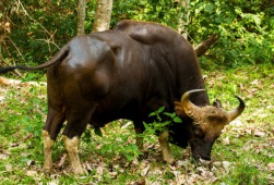
Gaur
The gaur, also known as the Indian bison, is a massive and impressive wild cattle species native to South and Southeast Asia. Unfortunately, it has been listed as Vulnerable on the IUCN Red List since 1986, with an estimated global population of up to 21,000 mature...
Mammals
Banteng
The banteng, also known as tembadau, is a type of wild cattle native to Southeast Asia. These animals are fascinating and exhibit noticeable differences between males and females. The adult bulls are not only larger but also darker compared to the cows.
Mammals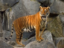
Indochinese tiger
The Indochinese tiger, or *Panthera tigris tigris*, is a majestic big cat native to Southeast Asia, specifically Myanmar, Thailand, Laos, Vietnam, Cambodia, and southwestern China. Unfortunately, these tigers have been classified as Endangered on the IUCN Red List...
Mammals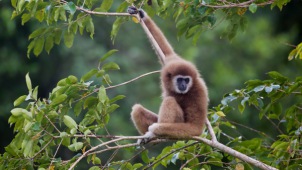
Lar gibbon
The lar gibbon, also known as the white-handed gibbon, is an endangered primate belonging to the gibbon family, Hylobatidae. This captivating creature boasts five subspecies and is easily identifiable by its distinct fur coloration, elongated arms, and absence of a...
Mammals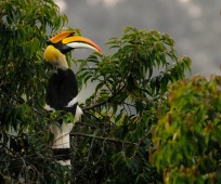
Great hornbill
The great hornbill, also known as the concave-casqued hornbill, is a remarkably large bird native to the Indian subcontinent and Southeast Asia. Renowned for its impressive size and vibrant plumage, this bird also holds significant cultural importance in various tribal...
Birds