Tha Din Daeng Market, Bangkok
Facts and practical information
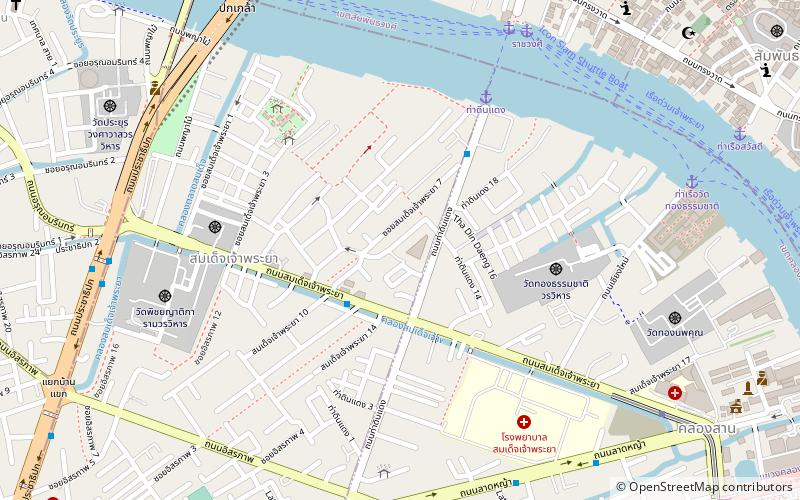
Tha Din Daeng Market is a place located in Bangkok (Bangkok Metropolis province) and belongs to the category of market.
It is situated at an altitude of 30 feet, and its geographical coordinates are 13°44'2"N latitude and 100°30'7"E longitude.
Planning a visit to this place, one can easily and conveniently get there by public transportation. Tha Din Daeng Market is a short distance from the following public transport stations: ท่าดินแดง (bus, 5 min walk), Rachawongse (ferry, 10 min walk), Khlong San (metro, 12 min walk), Wongwian Yai (train, 25 min walk).
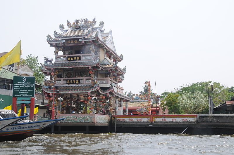
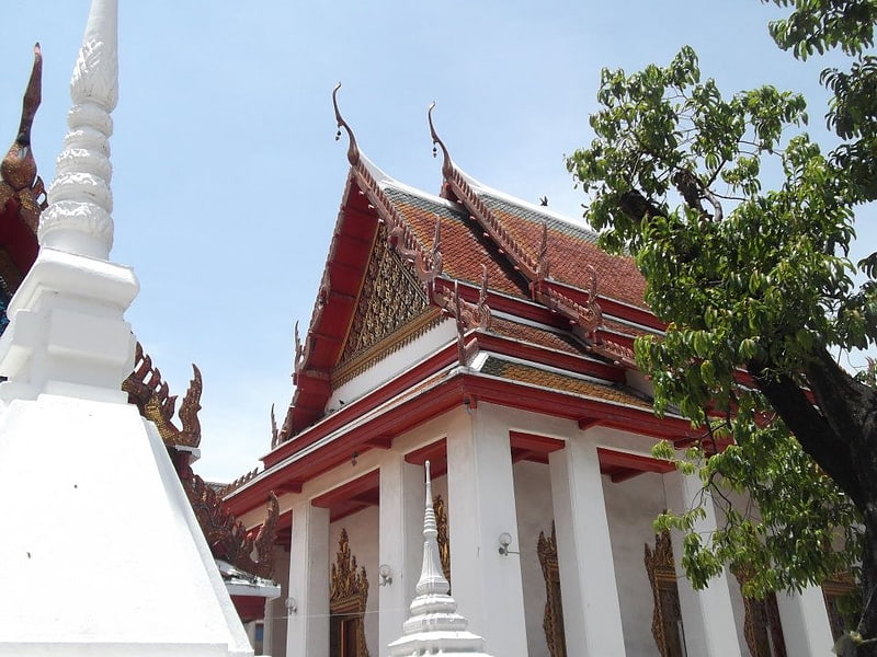
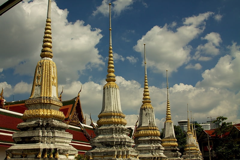
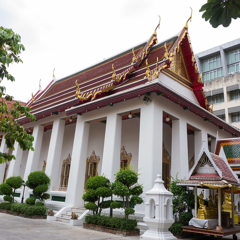
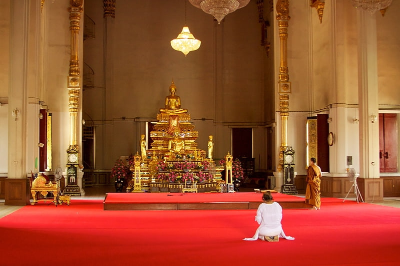
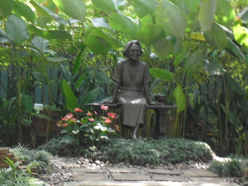
Among other places and attractions worth visiting in the area are: Princess Mother Memorial Park (park, 6 min walk), Tha Din Daeng (market, 7 min walk), Wat Anongkharam (temple, 7 min walk).
ธนบุรี (คลองสาน)Bangkok
- Metro
- Bus
- Train
- Ferry
 Metro
Metro
- Calculate routeท่าดินแดง 5 min walk
- Calculate route53 17 min walk
- Calculate routeBts กรุงธนบุรี 23 min walk
- Calculate routeHualamphong 27 min walk
- Calculate routeRachawongse 10 min walk
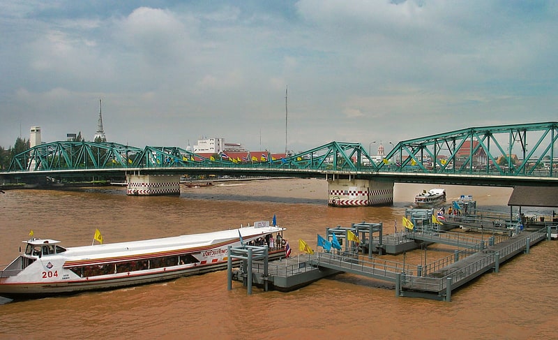
- Calculate routeMemorial Bridge 13 min walk
- Calculate routeMarine Dept. 18 min walk
- Calculate routeYodpiman 18 min walk
- Calculate routeKhlong San 12 min walk
- Calculate routeCharoen Nakhon 18 min walk
- Calculate routeWat Mangkon 21 min walk
- Calculate routeSanam Chai 23 min walk
- Calculate routeWongwian Yai 25 min walk
- Calculate routeBangkok 27 min walk
Tha Din Daeng Market – popular in the area (distance from the attraction)
Nearby attractions include: Guan Yu Shrine, Wat Anongkharam, Wat Phichai Yat, Wat Pathum Khongkha.

Frequently Asked Questions (FAQ)
Which popular attractions are close to Tha Din Daeng Market?
How to get to Tha Din Daeng Market by public transport?
Bus
- ท่าดินแดง • Lines: 20 (5 min walk)
- 53 (17 min walk)
Ferry
- Rachawongse • Lines: เรือด่วนพิเศษธงส้ม, เรือด่วนพิเศษธงเขียว, เรือด่วนพิเศษธงเหลือง, เรือท่องเที่ยวเจ้าพระยา, เรือประจำทาง (ไม่มีธง) (10 min walk)
- Memorial Bridge • Lines: เรือด่วนพิเศษธงส้ม, เรือประจำทาง (ไม่มีธง), เส้นทางเดินเรือโดยสารฯ คลองบางกอ (13 min walk)
Metro
- Khlong San • Lines: BTS Gold Line (12 min walk)
- Charoen Nakhon • Lines: BTS Gold Line (18 min walk)
Train
- Wongwian Yai (25 min walk)
- Bangkok (27 min walk)