Bhumibol Bridge, Bangkok
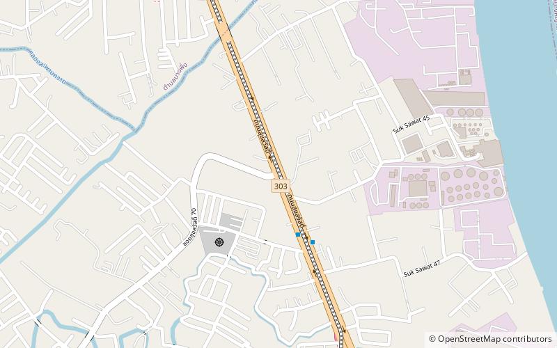
Map
Gallery
Facts and practical information
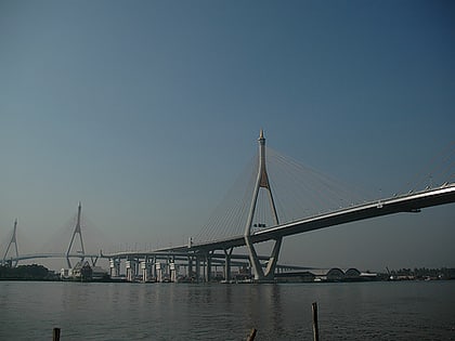
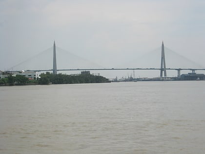
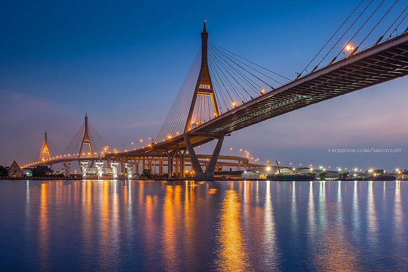
The Bhumibol Bridge, also known as the Industrial Ring Road Bridge is part of the 13 km long Industrial Ring Road connecting southern Bangkok with Samut Prakan Province. The bridge crosses the Chao Phraya River twice, with two striking cable-stayed spans of lengths of 702 m and 582 m supported by two diamond-shaped pylons 173 m and 164 m high. Where the two spans meet, another road rises to join them at a free-flowing interchange suspended 50 metres above the ground. ()
Local name: สะพานภูมิพล Opened: 2006 (20 years ago)Length: 2303 ftHeight: 164 ftCoordinates: 13°39'14"N, 100°32'28"E
Address
Bangkok
ContactAdd
Social media
Add
Day trips
Bhumibol Bridge – popular in the area (distance from the attraction)
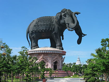
Nearby attractions include: Erawan Museum, CentralPlaza Rama 3, Rama IX Bridge, Museum of Counterfeit Goods.
Frequently Asked Questions (FAQ)
How to get to Bhumibol Bridge by public transport?
The nearest stations to Bhumibol Bridge:
Bus
Bus
- อู่ปู่เจ้าสมิงพราย • Lines: 2, 23, 45 (16 min walk)
- วัดกลาง • Lines: 138 (25 min walk)
