Lat Luang, Bangkok
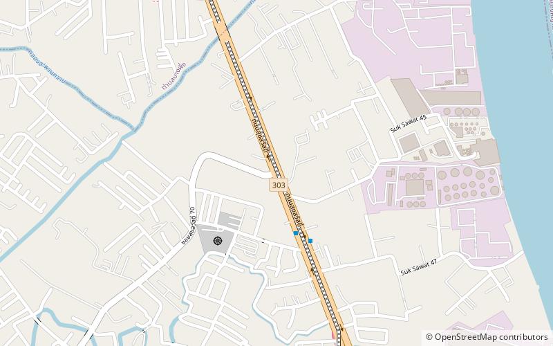
Map
Facts and practical information
Lat Luang is a town in the Phra Pradaeng District of Samut Prakan Province in the Bangkok Metropolitan Region of Central Thailand. In 2014, it had a total population of 73,938 people. ()
Coordinates: 13°38'28"N, 100°31'34"E
Address
Bangkok
ContactAdd
Social media
Add
Day trips
Lat Luang – popular in the area (distance from the attraction)
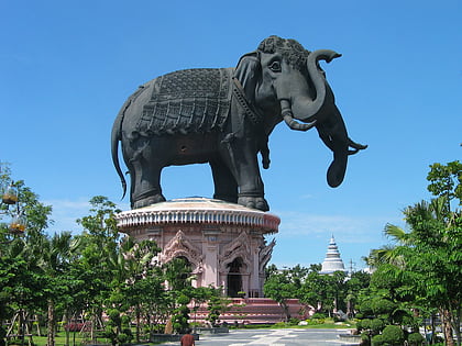
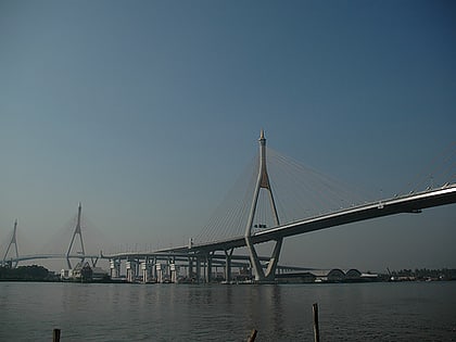
Nearby attractions include: Erawan Museum, Asiatique, CentralPlaza Rama 3, Rama IX Bridge.
Frequently Asked Questions (FAQ)
How to get to Lat Luang by public transport?
The nearest stations to Lat Luang:
Bus
Bus
- อู่ราชประชา • Lines: 138 (21 min walk)
- อู่ปู่เจ้าสมิงพราย • Lines: 2, 23, 45 (30 min walk)
